New York State Route 440
Videos
Page
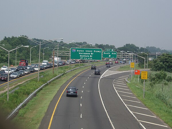
New York State Route 440 (NY 440) is a freeway located entirely on Staten Island in New York City. The route acts as a connector between the two segments of New Jersey Route 440, running from the Staten Island community of Richmond Valley in the south to Port Richmond in the north. NY 440 is connected to the two New Jersey segments by the Outerbridge Crossing to the south and the Bayonne Bridge to the north. It is one of several signed New York State routes that are not connected to any others in the state, and one of only two NYS routes that is the middle section of another state's highway bearing the same number. From the Korean War Veterans Parkway to Interstate 278 (I-278), it is known as the West Shore Expressway. North of I-278, it is named the Dr. Martin Luther King Jr. Expressway. NY 440 is the southernmost state route in the state of New York.
The West Shore Expressway northbound as seen from Meredith Avenue

NY 440 northbound past I-278 in Staten Island

The Dr. Martin Luther King Jr. Expressway, southbound, from Walker Street.
New Jersey Route 440
Videos
Page
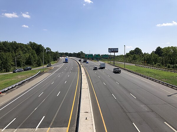
Route 440 is a state highway in New Jersey, United States. It comprises two segments, a 5.15-mile (8.29 km) freeway in Middlesex County linking Interstate 287 (I-287) and the New Jersey Turnpike (I-95), in Edison to the Outerbridge Crossing in Perth Amboy and an 8.18-mile (13.16 km) four-lane divided highway in Hudson County running from the Bayonne Bridge in Bayonne to U.S. Route 1/9 Truck in Jersey City. These two segments are connected by New York State Route 440 (NY 440), which runs across Staten Island. The freeway portion in Middlesex County is six lanes wide and interchanges with the Garden State Parkway and US 9 in Woodbridge.
View north along Route 440 at Garden State Parkway and US 9 in Woodbridge Township

Route 440 northbound at Kennedy Boulevard (CR 501) in Bayonne

Route 440 northbound at I-78 in Jersey City

Route 440 signed with CR 501 in Perth Amboy