Ngaio, New Zealand
Videos
Page
Ngaio is an inner suburb of Wellington, the capital city of New Zealand. It is situated on the slopes of Mount Kaukau, 3500 metres north of the city's CBD. It was settled in the 1840s and many of its streets are named after early settler families. Ngaio was originally a logging community known first as Upper Kaiwarra, then as Crofton until 1908. The area was administratively part of a separate local authority called the Onslow Borough Council which amalgamated with Wellington City in 1919.
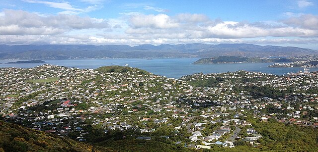
Ngaio, as seen from the hills above Ngaio.

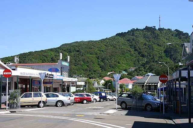
Ngaio Town hall
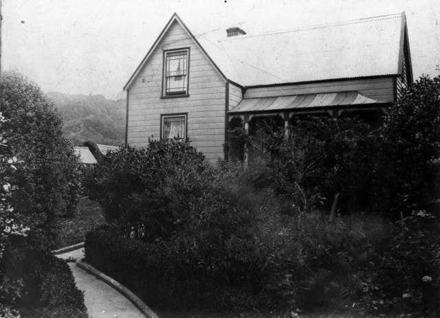
Chew Cottage
Mount Kaukau
Videos
Page
Mount Kaukau is a large hill in the northern suburbs of Wellington, New Zealand near Johnsonville, Khandallah and Ngaio. The summit is 445 metres above sea level and is the most visible high point in the Wellington landscape further accentuated by Wellington's main television transmitter mast, which stands 122m from the summit. The city, harbour and the Remutaka and Tararua Ranges can be seen from the summit. On a clear day Mt. Tapuae-o-Uenuku and the Kaikōura Ranges in the South Island may be seen, whilst northwest is the Porirua Basin and the Tasman Sea.
Mount Kaukau

Panoramic view from Mt Kaukau over Wellington harbour
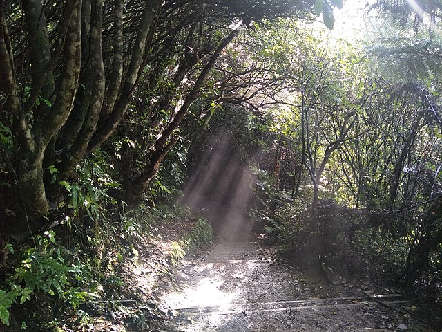
View of Northern Walkway (descending Mt Kaukau)

View of Matiu / Somes Island from Mt Kaukau track