North Luzon Expressway
Videos
Page
The North Luzon Expressway (NLEX), signed as E1 of the Philippine expressway network, partially as N160 of the Philippine highway network, and partially as R-8 of the Metro Manila arterial road network, is a controlled-access highway that connects Metro Manila to the provinces of the Central Luzon region in the Philippines. The expressway, which includes the main segment and its various spurs, has a total length of 101.8 kilometers (63.3 mi) and travels from its northern terminus at Santa Ines Interchange to its southern terminus in Balintawak Interchange, which is adjacent to its connection to Skyway, an elevated toll road that connects the NLEX to its counterpart in the south, the South Luzon Expressway. The segment of the expressway between Santa Rita Exit in Guiguinto and the Balintawak Interchange in Quezon City is part of Asian Highway 26 of the Asian highway network. Despite that the name stating the word "North Luzon", the expressway only ends at Santa Ines Exit at Mabalacat, Pampanga which is located in Central Luzon.

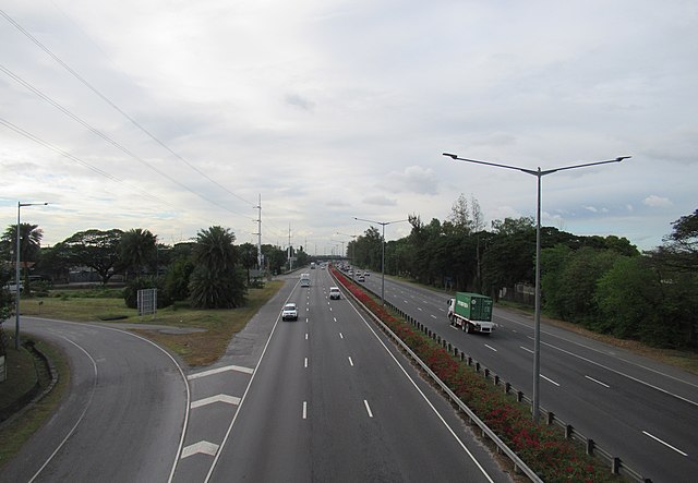
NLEX northbound, just north of Paso de Blas, Valenzuela
NLEX near the Santa Rita interchange in Guiguinto
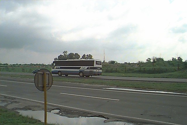
A segment of NLEX in 1999, with a passing Partas bus

The San Fernando toll plaza in 2001, few years before the rehabilitation
Philippine expressway network
Videos
Page
The Philippine expressway network, also known as the High Standard Highway Network, is a controlled-access highway network managed by the Department of Public Works and Highways (DPWH) which consists of all expressways and regional high standard highways in the Philippines.
The Skyway, the first elevated toll road in the country, as pictured in 2007
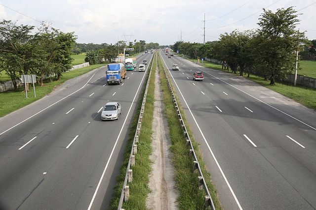
Image: View From NLEX Overpass, Bulacan, Philippines panoramio

Image: Pic geo photos ph=mm=muntinlupa=slex view from bilibid overpass philippines 2015 0428 ls
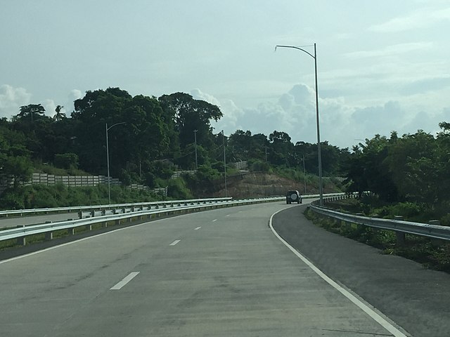
Image: Muntinlupa–Cavite Expwy 2