North Malabar
Videos
Page
North Malabar refers to the geographic area of southwest India covering the state of Kerala's present day Kasaragod, Kannur, and Wayanad districts, and the taluks of Vatakara and Koyilandy in the Kozhikode District of Kerala and the entire Mahé Sub-Division of the Union Territory of Puducherry. Traditionally North Malabar has been defined as the northern portion of the erstwhile Malabar District which lies between Chandragiri River and Korapuzha River. The region between Netravathi River and Chandragiri River, which included the portions between Mangalore and Kasaragod, are also often included in the term North Malabar, as the Kumbla dynasty in the southernmost region of Tulu Nadu, had a mixed lineage of Malayali Nairs and Tuluva Brahmins.
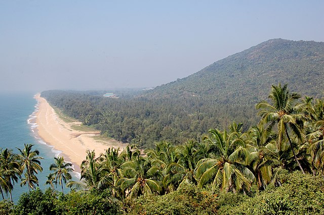
Ezhimala was once the headquarters of a powerful ancient kingdom
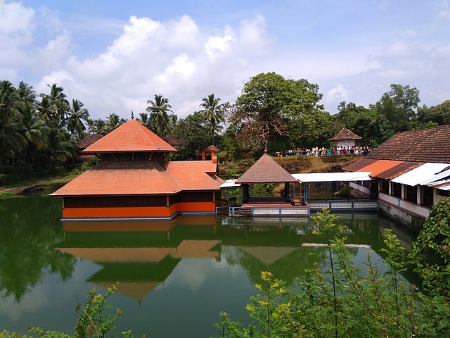
Ananthapadmanabhaswamy temple at Ananthapura, Kumbla
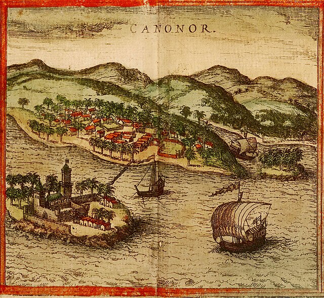
A portrait of Kannur drawn in 1572, from Georg Braun and Frans Hogenberg's atlas Civitates orbis terrarum, Volume I
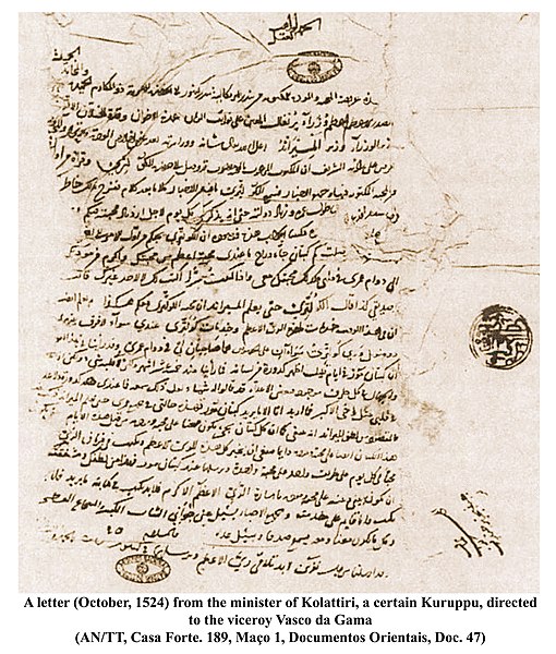
Kolattiri Raja's (The ruler of Kannur) minister Kuruppu's Arabic letter to Vasco da Gama (1524)
Kasaragod district
Videos
Page
Kasaragod is one of the 14 districts in the southern Indian state of Kerala. Its northern border Thalappady is located just 9 km south to Ullal, which is the southernmost portion of the major port city Mangalore, on the southwestern Malabar coast of India.

Image: Ranipuram hill

Image: Chandragiri River
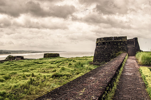
Image: Bekal Fort Kasargod

Image: Kottappuram nileshwaram house boat