Northern Cyprus
Videos
Page
Northern Cyprus, officially the Turkish Republic of Northern Cyprus (TRNC), is a de facto state that comprises the northeastern portion of the island of Cyprus. It is recognised only by Turkey, and its territory is considered by all other states to be part of the Republic of Cyprus.

Sarayönü Square of North Nicosia in 1969, after the division of the city

Rauf Denktaş, founder and former President of the Turkish Republic of Northern Cyprus

Atatürk Square, North Nicosia in 2006, with the Northern Cypriot and Turkish flags

Panoramic view of the Güzelyurt District, and Morphou Bay as seen from the Troodos mountains.
Geography of Cyprus
Videos
Page
Cyprus is an island country in the Eastern Basin of the Mediterranean Sea. It is the third-largest island in the Mediterranean, after the Italian islands of Sicily and Sardinia, and the 80th-largest island in the world by area. It is located south of the Anatolian Peninsula, yet it belongs to the Cyprus Arc. Geographically, Cyprus is located in West Asia, but the country is considered a European country in political geography. Cyprus also had lengthy periods of mainly Greek and intermittent Anatolian, Levantine, Byzantine, Turkish, and Western European influence.

Satellite image of Cyprus in 2022
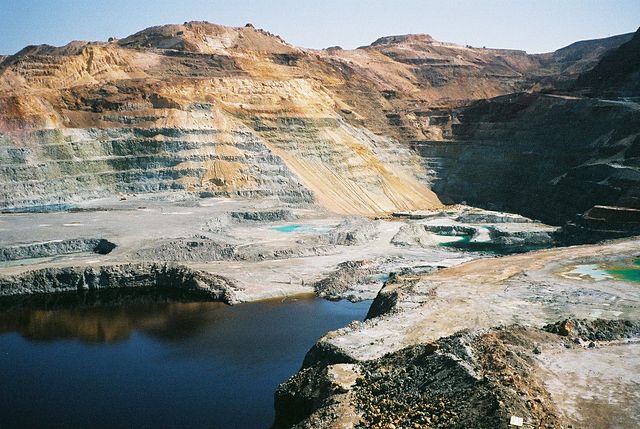
Skiriotissa mine

This image, photographed from the International Space Station in 2013, shows the three distinct geologic regions of the island. In the central and western part of the island is the Troodos Massif, a mountain range whose surface layer is mostly basaltic lava rock, and whose maximum elevation is 1,952 m (6,404 ft). Running in a thin arc along the northeast margin of the island is Cyprus's second mountain range, a limestone formation called the Kyrenia Range. The space between these ranges is home to the capital
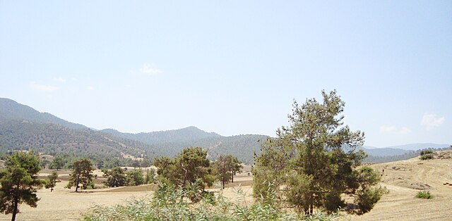
Cyprus countryside on the way to Troodos Mountains during the summer