Nullarbor Plain
Videos
Page
The Nullarbor Plain is part of the area of flat, almost treeless, arid or semi-arid country of southern Australia, located on the Great Australian Bight coast with the Great Victoria Desert to its north. It is the world's largest single exposure of limestone bedrock, and occupies an area of about 200,000 square kilometres (77,000 sq mi). At its widest point, it stretches about 1,100 kilometres (684 mi) from east to west across the border between South Australia and Western Australia.

Nullarbor Plain, Australia

A road sign displaying the distance from Eucla and Ceduna (Regarding the information on the road sign, this stretch of the Eyre Highway lies not in the Nullarbor Plain, but south of the plain, in the Hampton bioregion of Western Australia, on the Roe Plains, somewhere around Mundrabilla. The Nullarbor Plain stretches behind the hills or, rather, the Hampton Tableland, seen in the background)
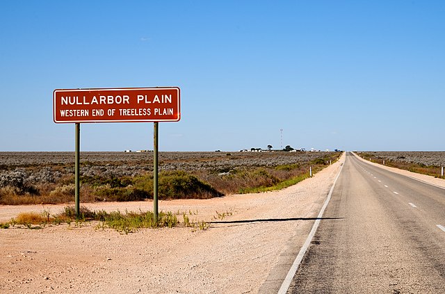
Sign defining the edge of the plain at the western side. (This photograph depicts Nullarbor Roadhouse, seen from the west. Nullarbor Roadhouse lies on the South Australian side of the Eyre Highway, at the eastern edge of the Nullarbor Plain as well as Nullarbor National Park, which both extend miles farther west into Western Australian territory.)
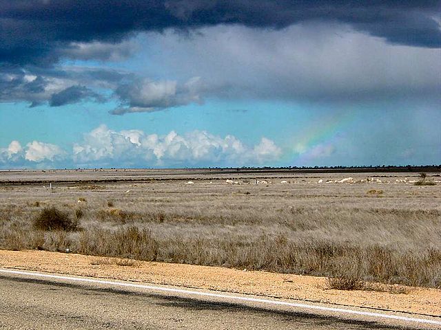
Rainbow over the Nullarbor Plain
Great Australian Bight
Videos
Page
The Great Australian Bight is a large oceanic bight, or open bay, off the central and western portions of the southern coastline of mainland Australia.
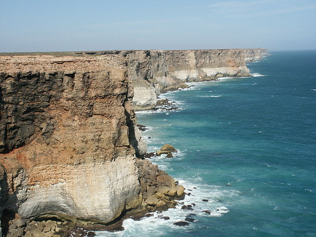
Coastline of the Great Australian Bight

The Great Australian Bight south of the Nullarbor. Credit Jacques Descloitres, Visible Earth, NASA.

Great Australian Bight Marine Park, 2007

Great Australian Bight 2015