Olympic National Forest
Videos
Page
Olympic National Forest is a U.S. National Forest located in Washington, USA. With an area of 628,115 acres (254,189 ha), it nearly surrounds Olympic National Park and the Olympic Mountain range. Olympic National Forest contains parts of Clallam, Grays Harbor, Jefferson, and Mason counties. The landscape of the national forest varies, from the temperate Olympic rain forest to the salt water fjord of Hood Canal to the peaks of Mt. Washington.
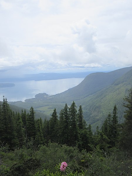
View of Puget Sound from the top of Mt. Walker

Panorama looking West-Northwest to Northeast from Marmot Pass in the Buckhorn Wilderness. Buckhorn Mountain and Iron Mountain can be seen on the far right side.
Olympic Mountains
Videos
Page
The Olympic Mountains are a mountain range on the Olympic Peninsula of the Pacific Northwest of the United States. The mountains, part of the Pacific Coast Ranges, are not especially high – Mount Olympus is the highest summit at 7,980 ft (2,432 m); however, the eastern slopes rise precipitously out of Puget Sound from sea level, and the western slopes are separated from the Pacific Ocean by the low-lying 20 to 35 km wide Pacific Ocean coastal plain. These densely forested western slopes are the wettest place in the 48 contiguous states. Most of the mountains are protected within the bounds of Olympic National Park and adjoining segments of the Olympic National Forest.

Mount Olympus

The Olympic Mountains in winter, as seen from the east. The Brothers is the large double peak on the left, and Mount Constance is on the right.

The Olympic Mountains seen from the High Divide.
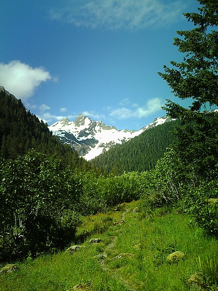
Mount Anderson as seen from the East Fork of the Quinault River