Oregon Route 126
Videos
Page
Oregon OR 126 (OR 126) is a 204.63-mile-long (329.32 km) state highway that connects coastal, western, and central parts of the U.S. state of Oregon. A short freeway section of OR 126 in Eugene and Springfield is concurrent with Interstate 105 (I-105).
This ramp stub, as seen from the west side of Skinner Butte, was supposed to provide access to the canceled Roosevelt Freeway from Interstate 105.
Central Oregon
Videos
Page
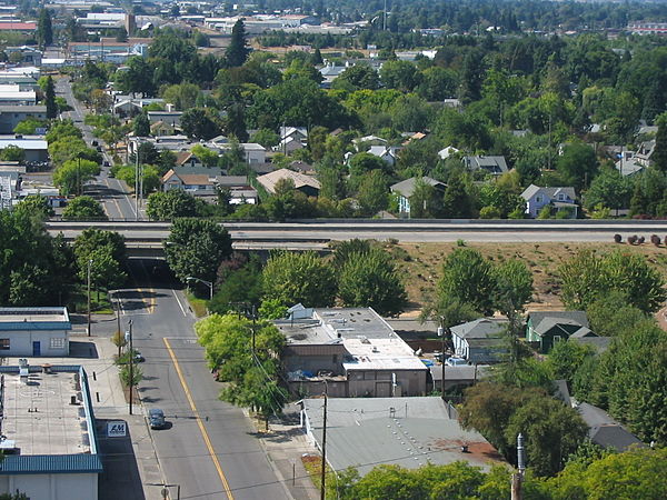
Central Oregon is a geographic region in the U.S. state of Oregon and is traditionally considered to be made up of Deschutes, Jefferson, and Crook counties. Other definitions include larger areas, often encompassing areas to the north towards the Columbia River, eastward towards Burns, or south towards Klamath Falls. These three counties have a combined population of 200,431 as of the 2010 census, with Deschutes the largest of the three counties, having approximately four times the population of the other two counties combined. As of 2015, the most populous city in the region is Bend, with an estimated 87,014 residents. As defined by the three county definition, Central Oregon covers 7,833 square miles (20,290 km2) of land. Central Oregon has had 3 record tourism years beginning in 2012. Over 2.2 million people visited Central Oregon in 2012 and again in 2013.

Panorama of Prineville in Crook County, and the Ochoco Mountains.

The Metolius River near Camp Sherman.

The Oregon Badlands Wilderness.

Newberry caldera at the Newberry National Volcanic Monument.