Ottoman Syria
Videos
Page
Ottoman Syria refers to divisions of the Ottoman Empire within the region of Syria, usually defined as being east of the Mediterranean Sea, west of the Euphrates River, north of the Arabian Desert and south of the Taurus Mountains.
Mosque at Latakia, from Views in the Ottoman Dominions, in Europe, in Asia, and some of the Mediterranean islands (1810) illustrated by Luigi Mayer (1755–1803).
Town of Bethlehem, Ottoman Syria from an 1810 illustration by Luigi Mayer.
Tartus in Ottoman Syria, from an 1810 illustration by Luigi Mayer.
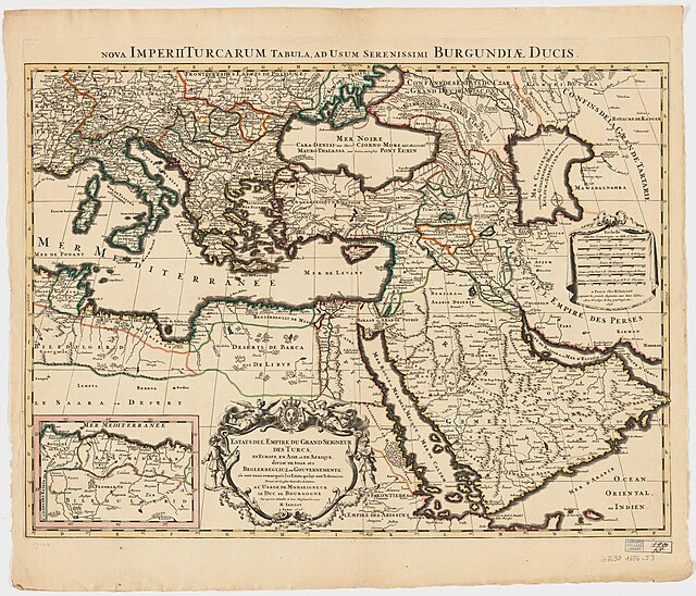
1696 (Jaillot), showing Eyalets
Damascus Eyalet
Videos
Page
Damascus Eyalet was an eyalet of the Ottoman Empire. Its reported area in the 19th century was 51,900 square kilometres (20,020 sq mi). It became an eyalet after the Ottomans took it from the Mamluks following the 1516–1517 Ottoman–Mamluk War. Janbirdi al-Ghazali, a Mamluk traitor, was made the first beylerbey of Damascus. The Damascus Eyalet was one of the first Ottoman provinces to become a vilayet after an administrative reform in 1865, and by 1867 it had been reformed into the Syria Vilayet.
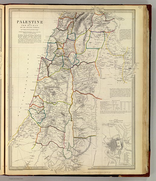
Palestine with the Hauran and the adjacent districts, William Hughes 1843