Pacific Railroad Surveys
Videos
Page
The Pacific Railroad Surveys (1853–1855) were a series of explorations of the American West designed to find and document possible routes for a transcontinental railroad across North America. The expeditions included surveyors, scientists, and artists and resulted in an immense body of data covering at least 400,000 square miles (1,000,000 km2) on the American West. "These volumes... constitute probably the most important single contemporary source of knowledge on Western geography and history and their value is greatly enhanced by the inclusion of many beautiful plates in color of scenery, native inhabitants, fauna and flora of the Western country." Published by the United States War Department from 1855 to 1860, the surveys contained significant material on natural history, including many illustrations of reptiles, amphibians, birds, and mammals. In addition to describing the route, these surveys also reported on the geology, zoology, botany, paleontology of the land as well as provided ethnographic descriptions of the Native peoples encountered during the surveys.
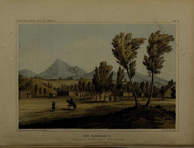
An illustration of Fort Massachusetts, Colorado, made during the surveys
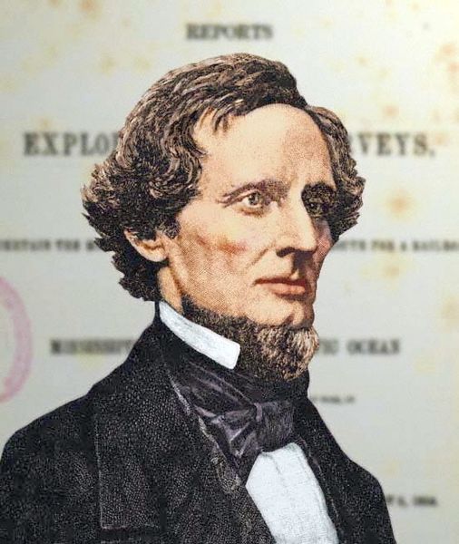
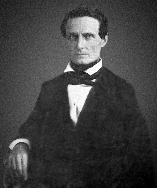
Exploration and surveys for the Pacific Railroad were carried out under the direction of Secretary of War Jefferson Davis

"Red-tailed Black Hawk" from volume X of the War Department's report to Congress
Jefferson Davis
Videos
Page
Jefferson F. Davis was an American politician who served as the first and only president of the Confederate States from 1861 to 1865. He represented Mississippi in the United States Senate and the House of Representatives as a member of the Democratic Party before the American Civil War. He was the United States Secretary of War from 1853 to 1857.

Photograph by Mathew Brady, c. 1859
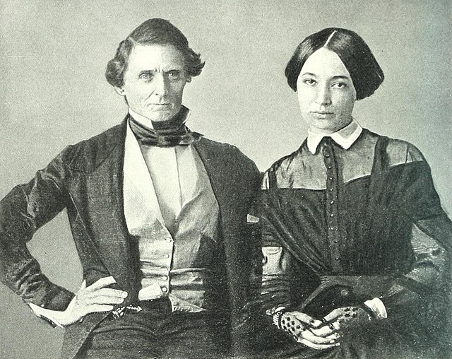
Daguerrotype wedding photograph of Jefferson Davis and Varina Howell (1845)
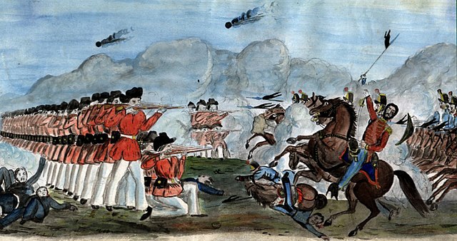
Watercolor of The Defeat of the Mexican Lancers by the Mississippi Rifles by Samuel Chamberlain (c. 1860)
Daguerrotype of Representative Davis of the 29th U.S. Congress (c. 1846)