Palakkad district
Videos
Page
Palakkad is one of the 14 districts in the Indian state of Kerala. It was carved out of the southeastern region of the former Malabar District on 1 January 1957. It is located at the central region of Kerala and is the second largest district in the state after Idukki. The city of Palakkad is the district headquarters. Palakkad is bordered on the northwest by the Malappuram district, on the southwest by the Thrissur district, on the northeast by Nilgiris district, and on the east by Coimbatore district of Tamil Nadu. The district is nicknamed "The granary of Kerala". Palakkad is the gateway to Kerala due to the presence of the Palakkad Gap, in the Western Ghats. The 2,383 m high Anginda peak, which is situated in the border of Palakkad district, Nilgiris district, and Malappuram district, in Silent Valley National Park, is the highest point of elevation in Palakkad district. Palakkad city is about 347 kilometres (216 mi) northeast of the state capital, Thiruvananthapuram.
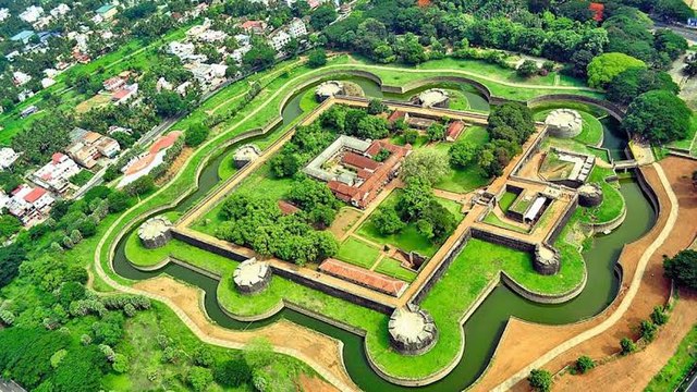
Image: Palakkad Fort 5
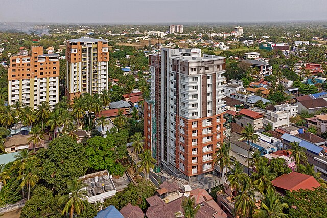
Image: Palakkad City, Kunnathurmedu
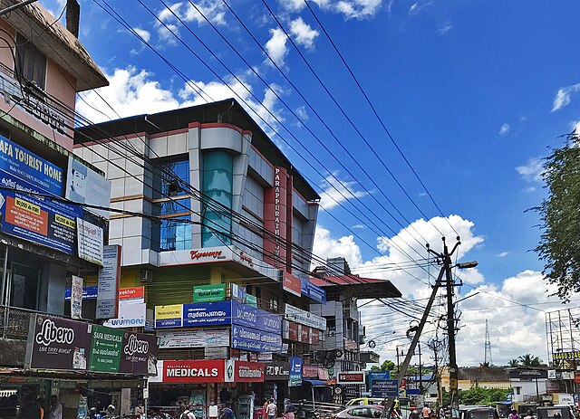
Image: Ottpalam town 3
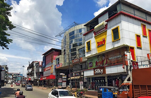
Image: Pattambi Town 1
Malabar District
Videos
Page
Malabar District, also known as Malayalam District, was an administrative district on the southwestern Malabar Coast of Bombay Presidency (1792–1800), Madras Presidency (1800–1937), Madras Province (1937–1950) and finally, Madras State (1950–1956) in India. It was the most populous and the third-largest district in the erstwhile Madras State. The historic town of Calicut was the admisnitrative headquarters of this district.
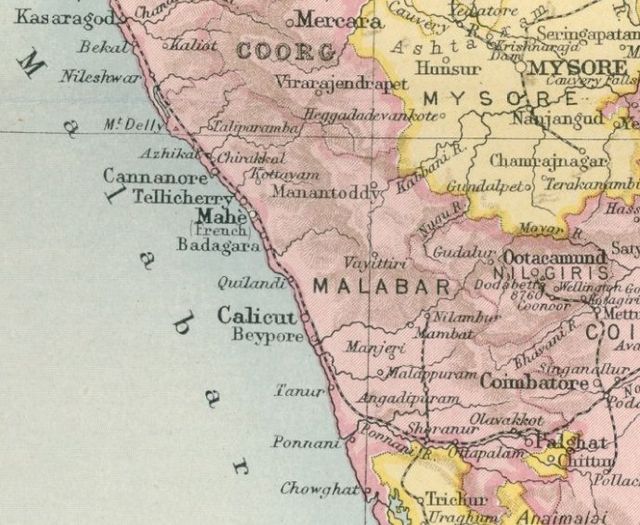
Important towns in the erstwhile Malabar District
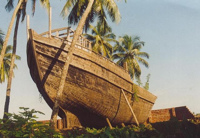
Uru, a type of ship built at Beypore, Calicut

St. Angelo Fort at Kannur
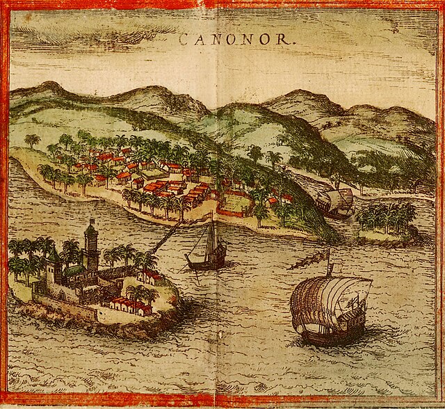
A portrait of Kannur drawn in 1572, from Georg Braun and Frans Hogenberg's atlas Civitates orbis terrarum, Volume I