Palo Alto, California
Videos
Page
Palo Alto is a charter city in the northwestern corner of Santa Clara County, California, United States, in the San Francisco Bay Area, named after a coastal redwood tree known as El Palo Alto.

Image: Palo Alto Baylands January 2013 005 (cropped)

Image: Ramona Street Architectural District, 261 Hamilton St., Palo Alto, CA 5 27 2012 2 20 25 PM
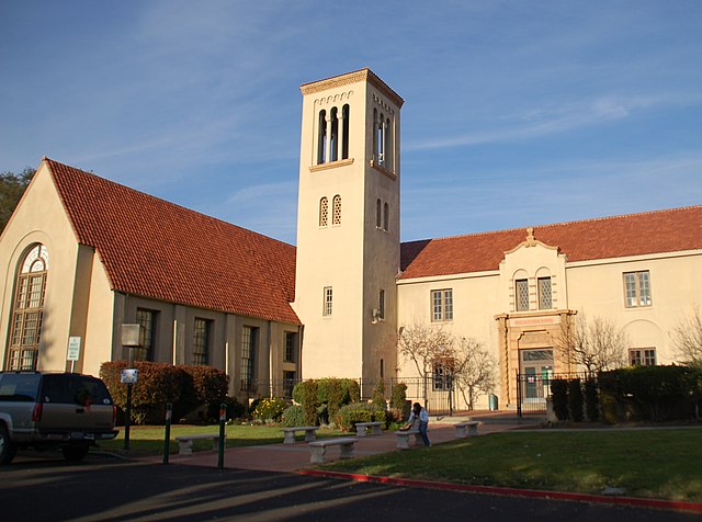
Image: Paly (cropped)
Image: Palo Alto Medical Clinic, 300 Homer Ave., Palo Alto, CA 5 27 2012 4 21 09 PM
El Palo Alto
Videos
Page
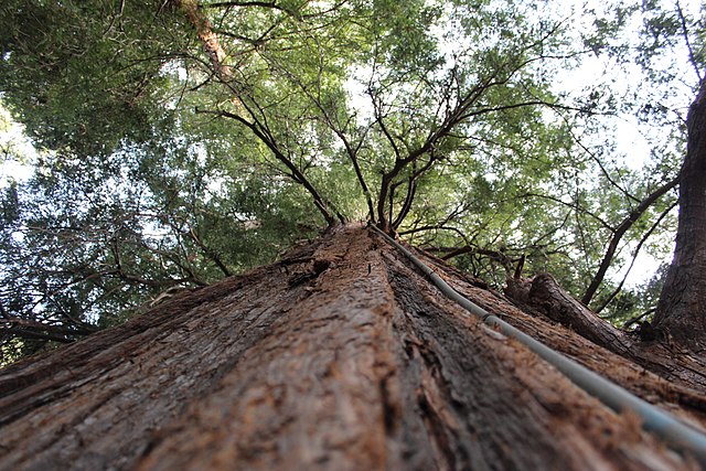
El Palo Alto is a coast redwood located on the banks of the San Francisquito Creek in Palo Alto, California, a city in the San Francisco Bay Area. The namesake of the city and a historical landmark, El Palo Alto is 1083–1084 years old and stands 110 feet (34 m) tall.
El Palo Alto, circa 2004
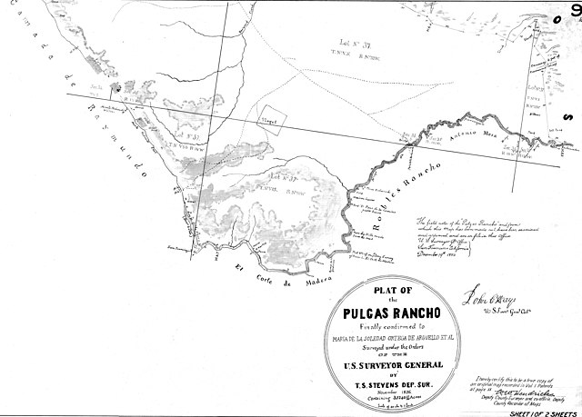
November 1856 land survey of Rancho de las Pulgas—bounded below by San Francisquito Creek—indicating the "Palo Alto Redwoods" (above "Robles Rancho")

In the 1870s, by Carleton Watkins; the tree's earliest known photograph. The left trunk would fall.
Irrigation system for El Palo Alto