Pecos River
Videos
Page
The Pecos River originates in north-central New Mexico and flows into Texas, emptying into the Rio Grande. Its headwaters are on the eastern slope of the Sangre de Cristo mountain range in Mora County north of Pecos, New Mexico, at an elevation of over 12,000 feet (3,700 m). The river flows for 926 miles (1,490 km) before reaching the Rio Grande near Del Rio. Its drainage basin encompasses about 44,300 square miles (115,000 km2).
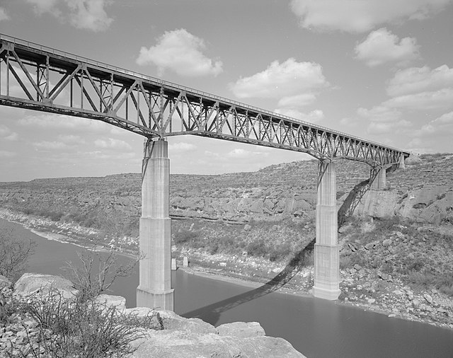
Pecos River High Bridge, near Langtry, Val Verde County, Texas
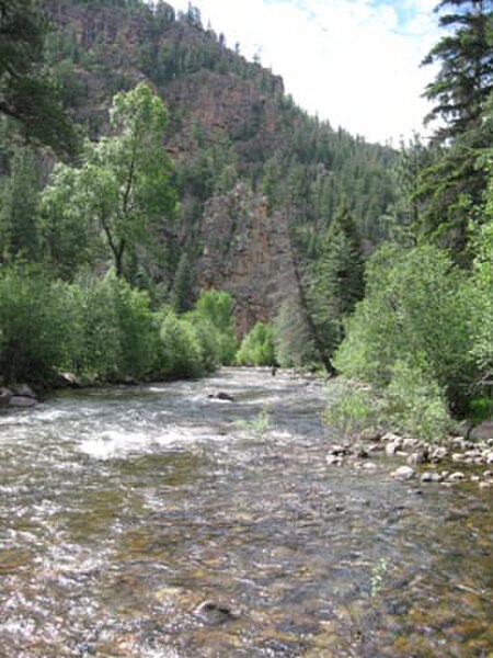
Pecos River between Terrerro and Pecos, New Mexico
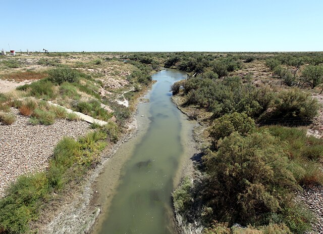
The Pecos River flowing south of Grandfalls, Texas

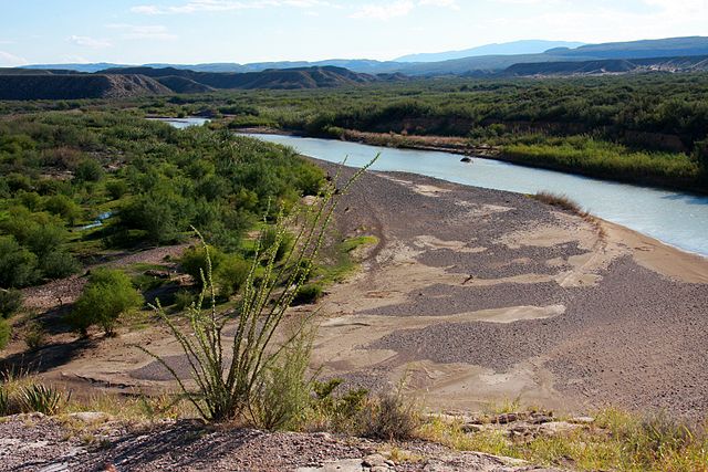
Pecos River near the Rio Grande
Rio Grande
Videos
Page
The Rio Grande in the United States or the Río Bravo in Mexico is one of the principal rivers in the southwestern United States and in northern Mexico. The length of the Rio Grande is 1,896 miles (3,051 km), making it the 4th longest river in the United States and in North America by main stem. It originates in south-central Colorado, in the United States, and flows to the Gulf of Mexico. The Rio Grande drainage basin (watershed) has an area of 182,200 square miles (472,000 km2); however, the endorheic basins that are adjacent to and within the greater drainage basin of the Rio Grande increase the total drainage-basin area to 336,000 square miles (870,000 km2).
The Rio Grande at Big Bend National Park, on the Mexico–U.S. border
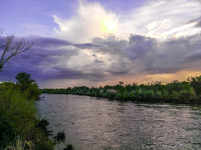
A riverine islet in the Rio Grande, seen from North Valley, New Mexico.
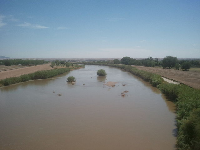
Rio Grande in west El Paso near the New Mexico state line
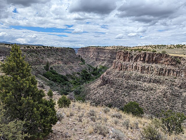
Rio Grande Gorge in Central New Mexico