Pendle Hill
Videos
Page
Pendle Hill is in the east of Lancashire, England, near the towns of Burnley, Nelson, Colne, Brierfield, Clitheroe and Padiham. Its summit is 557 metres (1,827 ft) above mean sea level. It gives its name to the Borough of Pendle. It is an isolated hill in the Pennines, separated from the South Pennines to the east, the Bowland Fells to the northwest, and the West Pennine Moors to the south. It is included in a detached part of the Forest of Bowland Area of Outstanding Natural Beauty.

Pendle Hill from the Ribble Valley

Pendle Hill in winter 2010

Pendle from the west. (Longridge Fell is to the right.)

A panoramic image of Pendle Hill in 2012 showing the northeast slopes, known as the Big End, overlooking Black Moss Reservoirs on the edge of Barley-with-Wheatley Booth. The footpath from Barley (not pictured) to the summit can be seen ascending from left to right. (The full-size image is 10 times larger.)
Lancashire
Videos
Page
Lancashire is a ceremonial county in North West England. It is bordered by Cumbria to the north, North Yorkshire and West Yorkshire to the east, Greater Manchester and Merseyside to the south, and the Irish Sea to the west. The largest settlement is Blackpool.
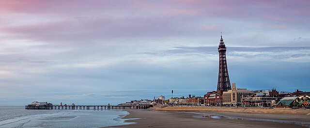
Image: Central Pier, Blackpool (Unsplash) (cropped)

Image: The Ashton Memorial in Lancaster (12311695365)
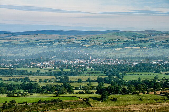
Image: Clitheroe geograph.org.uk 4067941
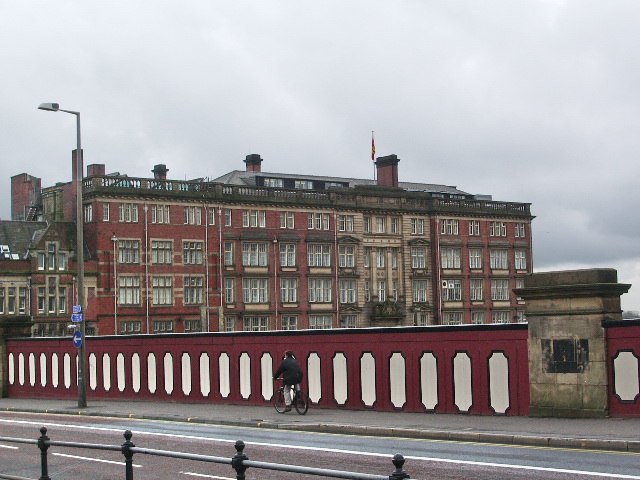
County Hall, Preston