Pennsylvania Route 132
Videos
Page
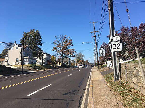
Pennsylvania Route 132 (PA 132) is a state highway in southeast Pennsylvania. The route, which is signed east–west, runs northwest to southeast through Bucks County in suburban Philadelphia from PA 611 in Warrington southeast to Interstate 95 (I-95) in Bensalem. PA 132 is a commercial route lined with shopping centers throughout much of its 15-mile (24 km) length. It is named Street Road and is five lanes wide for much of its length. The route was also designated as the Armed Forces and Veterans Memorial Highway in 2005. From west to east, PA 132 intersects PA 263 and PA 332 in Warminster; PA 232 in Southampton; PA 532 in Feasterville; and U.S. Route 1 (US 1), the Pennsylvania Turnpike (I-276), PA 513, and US 13 in Bensalem. Street Road was included in William Penn's survey plans and completed by 1737. The road was paved by 1911 and received the PA 132 designation between US 611 and US 13 by 1927. The route was widened into a multilane highway and extended east from US 13 to I-95 by 1970. An interchange with the eastbound direction of the Pennsylvania Turnpike opened in 2010.

PA 132 westbound past Davisville Road in Warminster Township

PA 132 westbound past PA 513 in Bensalem Township
PA 132 westbound past PA 232 in Southampton

PA 132 westbound in Warminster Township
Pennsylvania Route 611
Videos
Page
Pennsylvania Route 611 is a state highway in eastern Pennsylvania running 109.7 mi (176.5 km) from Interstate 95 (I-95) in the southern part of Philadelphia north to I-380 in Coolbaugh Township in the Pocono Mountains.

PA 611 northbound on Broad Street at Washington Avenue in South Philadelphia
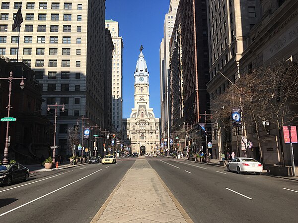
PA 611 northbound on Broad Street in Center City Philadelphia, approaching Philadelphia City Hall
PA 611 northbound on Broad Street at Indiana Avenue in North Philadelphia

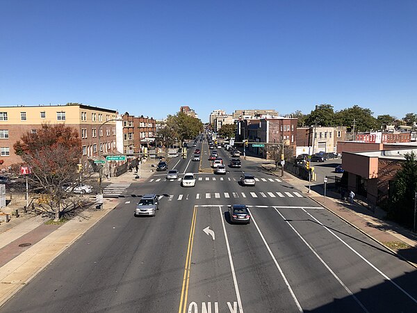
PA 611 northbound at southern terminus of PA 263 in Willow Grove