Pentonville Road
Videos
Page
Pentonville Road is a road in Central London that runs west to east from Kings Cross to City Road at The Angel, Islington. The road is part of the London Inner Ring Road and part of the boundary of the London congestion charge zone.
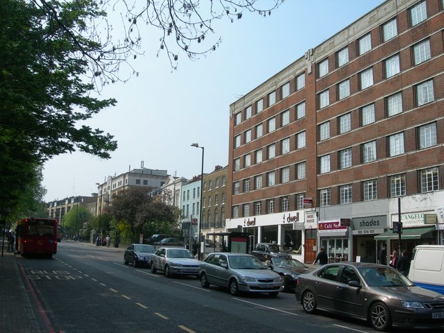
Pentonville Road, west of The Angel, Islington, looking towards King's Cross
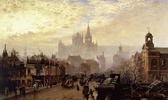
A westward view along Pentonville Road, drawn in 1884 by John O'Connor
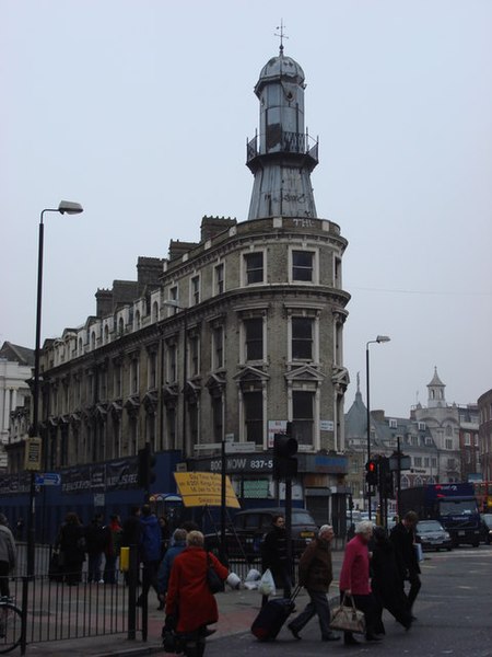
The Lighthouse Block, at Nos. 295–297 Pentonville Road, is named after the distinctive structure at the top of the building.
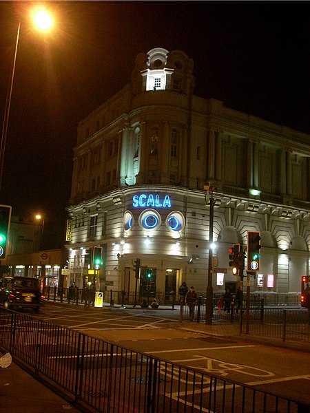
The Scala was previously the King's Cross Cinema, established on Pentonville Road in 1920.
King's Cross, London
Videos
Page
King's Cross is a district in the London Boroughs of Camden and Islington, it’s on either side of Euston Road, in the outskirts of north London and central London, England, 1.5 miles (2.4 km) north of Charing Cross. It is bordered by Barnsbury to the north, Clerkenwell to the southeast, Angel to the east, Holborn and Bloomsbury to the south, Euston to the west and Camden Town to the northwest. It is served by two major rail termini, St Pancras and King's Cross. King's Cross station is the terminus of one of the major rail routes between London and the North.
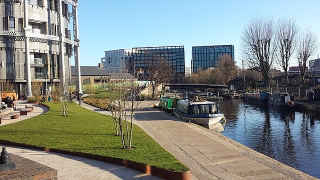
Repurposed gas holders and canal locks at King's Cross, with the buildings of St Pancras Square behind
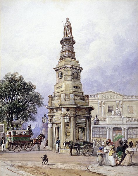
The 19th century monument to George IV, since demolished, that gave the area its name
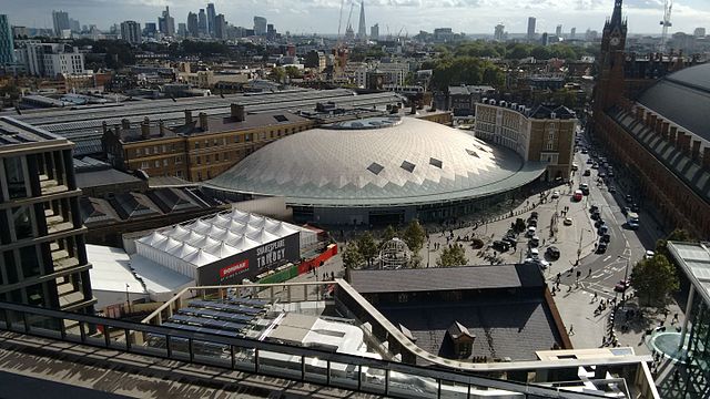
Aerial view of the area surrounding King's Cross station
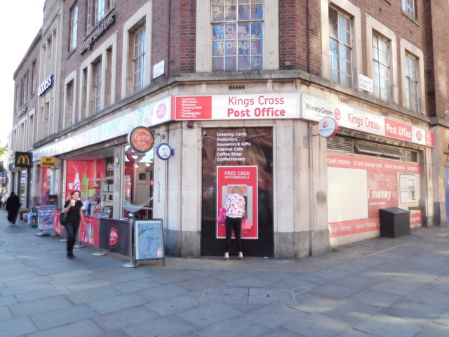
King's Cross Post Office in King's Cross, London