Portarlington, County Laois
Videos
Page
Portarlington, historically called Cooletoodera, is a town on the border of County Laois and County Offaly, Ireland. The River Barrow forms the border. Portarlington is around 70 kilometres (43 mi) west of Dublin. The town was recorded in the 2022 census as having a population of 9,288.
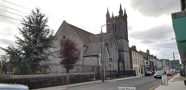
St Paul's Church is on French Church Street off Portarlington's market square
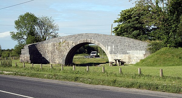
Blackhall Bridge

The Spire is a folly on nearby Corrig/Carrick hill
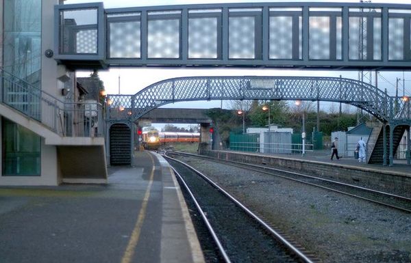
Portarlington Railway station
County Laois
Videos
Page
County Laois is a county in Ireland. It is part of the Eastern and Midland Region and in the province of Leinster. It was known as Queen's County from 1556 to 1922. The modern county takes its name from Loígis, a medieval kingdom. Historically, it has also been known as County Leix.

A church in Emo

The M7 near Portlaoise

Countryside south of Portlaoise.
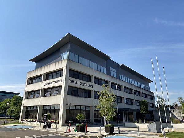
County Hall, Portlaoise