Red River of the North
Videos
Page
The Red River, also called the Red River of the North to differentiate it from the Red River in the south of the continent, is a river in the north-central United States and central Canada. Originating at the confluence of the Bois de Sioux and Otter Tail rivers between the U.S. states of Minnesota and North Dakota, it flows northward through the Red River Valley, forming most of the border of Minnesota and North Dakota and continuing into Manitoba. It empties into Lake Winnipeg, whose waters join the Nelson River and ultimately flow into Hudson Bay.

The Red River in Fargo–Moorhead, as viewed from the Fargo side of the river
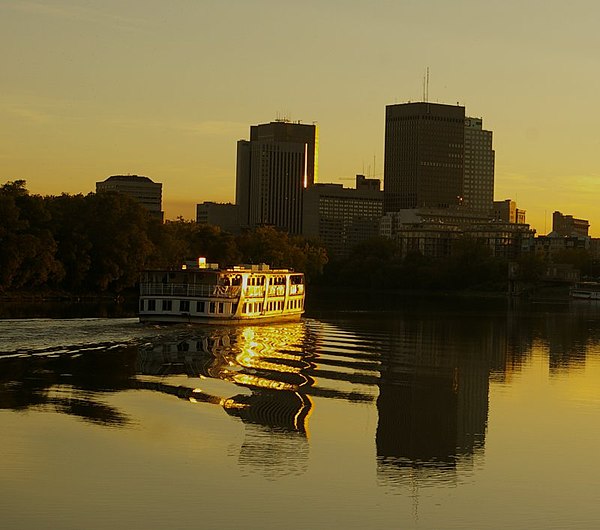
Red River in Winnipeg, Manitoba

The Red River in Greater Grand Forks, as viewed from the Grand Forks side of the river

The Red River near Pembina, North Dakota, about 3 kilometres (2 mi) south of the Canada–U.S. border. The Pembina River can be seen flowing into the Red at the bottom.
Red River of the South
Videos
Page
The Red River, or sometimes the Red River of the South to differentiate it from the Red River in the north of the continent, is a major river in the Southern United States. It was named for its reddish water color from passing through red-bed country in its watershed. It is known as the Red River of the South to distinguish it from the Red River of the North, which flows between Minnesota and North Dakota into the Canadian province of Manitoba. Although once a tributary of the Mississippi River, the Red River is now a tributary of the Atchafalaya River, a distributary of the Mississippi that flows separately into the Gulf of Mexico. This confluence is connected to the Mississippi River by the Old River Control Structure.

Red River looking east, north of Bonham, Texas: Texas is to the right, Oklahoma is on the left, and the border between the two states runs along the south (right) bank of the river.

Point bars, abandoned meander loops, oxbow lakes in Lafayette and Miller counties, Arkansas

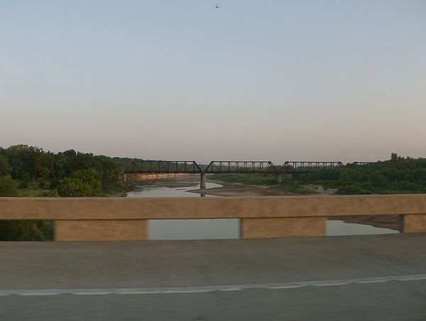
State Highway No. 78 Bridge at the Red River between Oklahoma and Texas, photographed on the Oklahoma side
Crossing the Red River at the Texas–Oklahoma border from I-35