Roads and freeways in metropolitan Phoenix
Videos
Page
The metropolitan area of Phoenix in the U.S. state of Arizona contains one of the nation's largest and fastest-growing freeway systems, with over 1,405 lane miles (2,261 km) as of 2005.
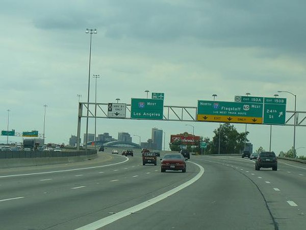
I-10 west at The Split interchange with I-17 north

View east along US 60, Mesa
Logo signs on the Loop 202 SanTan Freeway in Chandler
Interstate 10 in Arizona
Videos
Page
In the U.S. state of Arizona, Interstate 10 (I‑10), the major east–west Interstate Highway in the United States Sun Belt, runs east from California, enters Arizona near the town of Ehrenberg and continues through Phoenix and Tucson and exits at the border with New Mexico near San Simon. The highway also runs through the cities of Casa Grande, Eloy, and Marana. Segments of the highway are referred to as either the Papago Freeway, Inner Loop, or Maricopa Freeway within the Phoenix area and the Pearl Harbor Memorial Highway outside metro Phoenix.

Southern-most intersection of the I-10 and Loop 202
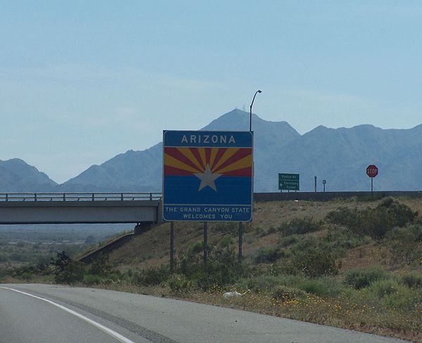
Entering from California

I-10 between Blythe, California, and Quartzsite, Arizona

Southern terminus of I-17 in Phoenix