Rosarito is a coastal city in Playas de Rosarito Municipality, Baja California, on the Pacific Coast of Mexico. As of 2010, the city had a population of 65,278. Located 10 miles (16 km) south of the US-Mexico border, Rosarito is a part of the greater San Diego–Tijuana region and one of the westernmost cities in Mexico. Rosarito is a major tourist destination, known for its beaches, resorts, and events like Baja Beach Fest.
Image: Cristo del Sagrado Corazon (51432194755) (cropped)
Image: Coastline in Rosarito, Baja California
Image: Rosarito Beach Hotel and Pier (cropped)
Image: Rosarito Pier (cropped)
Baja California, officially Estado Libre y Soberano de Baja California, is a state in Mexico. It is the northernmost and westernmost of the 32 federal entities of Mexico. Before becoming a state in 1952, the area was known as the North Territory of Baja California. It has an area of 70,113 km2 (27,071 sq mi) and comprises the northern half of the Baja California Peninsula, north of the 28th parallel, plus oceanic Guadalupe Island. The mainland portion of the state is bordered on the west by the Pacific Ocean; on the east by Sonora, the U.S. state of Arizona, and the Gulf of California; on the north by the U.S. state of California; and on the south by Baja California Sur.
Evolution of the political boundaries of the Californias: Palóu Line (1804–1836) Gila River; border between Las Californias/Alta California and Sonora (1767–1847) Treaty of Guadalupe Hidalgo (1848–Present) Baja California Sur boundary (1931–Present)
Sierra de San Pedro Mártir, with Picacho del Diablo in the center
Encelia californica growing on the Ensenada Municipality coast, typical of the California coastal sage and chaparral ecoregion
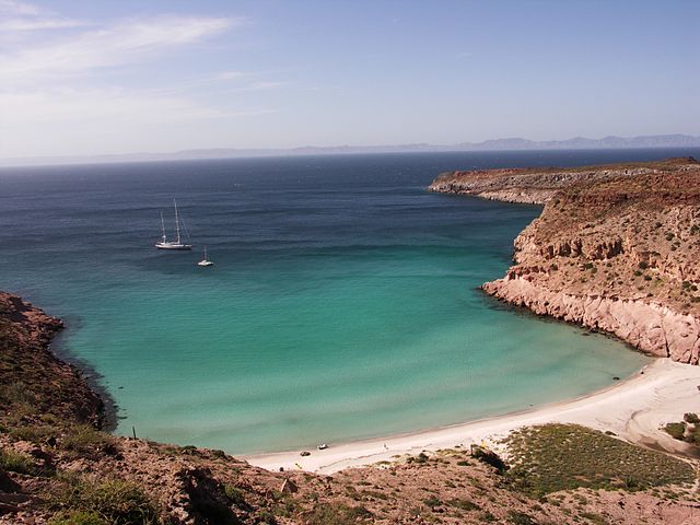
Isla Partida, part of the San Lorenzo Marine Archipelago National Park