Saint John River (Bay of Fundy)
Videos
Page
The Saint John River is a 673-kilometre-long (418 mi) river flowing within the Dawnland region from headwaters in the Notre Dame Mountains near the Maine-Quebec border through western New Brunswick to the northwest shore of the Bay of Fundy. Eastern Canada's longest river, its drainage basin is one of the largest on the east coast at about 55,000 square kilometres (21,000 sq mi). This “River of the Good Wave” and its tributary drainage basin formed the territorial countries of the Wolastoqiyik and Passamaquoddy First Nations prior to European colonization, and it remains a cultural centre of the Wabanaki Confederacy to this day.

Saint John River in Fredericton, NB
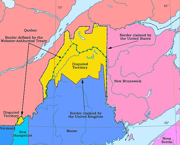
The large yellow disputed area is in the drainage of the Saint John. The international boundary established in 1842 is the dashed green line.

Saint John, NB

2008 Saint John River Flood
New Brunswick
Videos
Page
New Brunswick is one of the thirteen provinces and territories of Canada. It is one of the three Maritime provinces and one of the four Atlantic provinces.
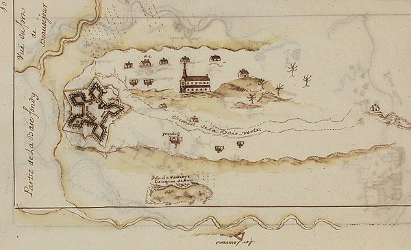
Fort Beauséjour at the Isthmus of Chignecto. The French built the fort in 1751 in an effort to limit British expansion into continental Acadia.
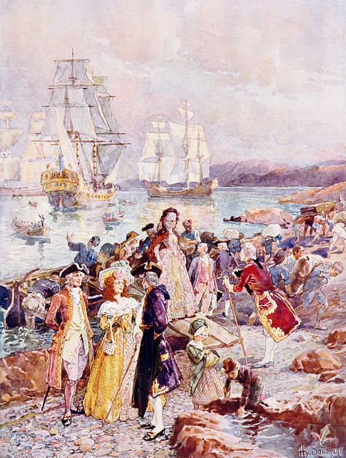
A romanticized depiction of the arrival of the Loyalists in New Brunswick

An Intercolonial Railway bridge, 1875. The railway was established as a result of Confederation.
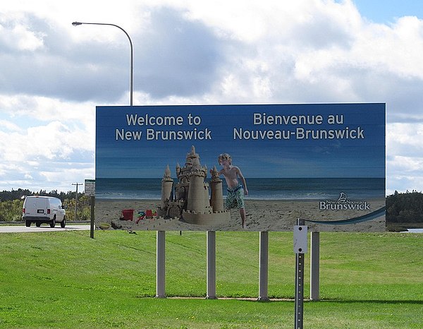
A provincial welcome sign in English and French, the two official languages of the province