Second voyage of James Cook
Videos
Page
The second voyage of James Cook, from 1772 to 1775, commissioned by the British government with advice from the Royal Society, was designed to circumnavigate the globe as far south as possible to finally determine whether there was any great southern landmass, or Terra Australis. On his first voyage, Cook had demonstrated by circumnavigating New Zealand that it was not attached to a larger landmass to the south, and he charted almost the entire eastern coastline of Australia, yet Terra Australis was believed to lie further south. Alexander Dalrymple and others of the Royal Society still believed that this massive southern continent should exist. After a delay brought about by the botanist Joseph Banks' unreasonable demands, the ships Resolution and Adventure were fitted for the voyage and set sail for the Antarctic in July 1772.

Portrait of James Cook by William Hodges, who accompanied Cook on his second voyage
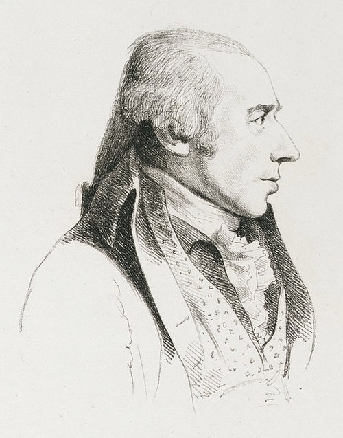
William Hodges, portrait by George Dance the Younger

Cook in Antarctica drawn by William Hodges
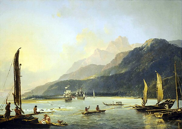
Painting of HMS Resolution and HMS Adventure in Matavai Bay, Tahiti, by William Hodges
Terra Australis
Videos
Page
Terra Australis was a hypothetical continent first posited in antiquity and which appeared on maps between the 15th and 18th centuries. Its existence was not based on any survey or direct observation, but rather on the idea that continental land in the Northern Hemisphere should be balanced by land in the Southern Hemisphere. This theory of balancing land has been documented as early as the 5th century on maps by Macrobius, who uses the term Australis on his maps.
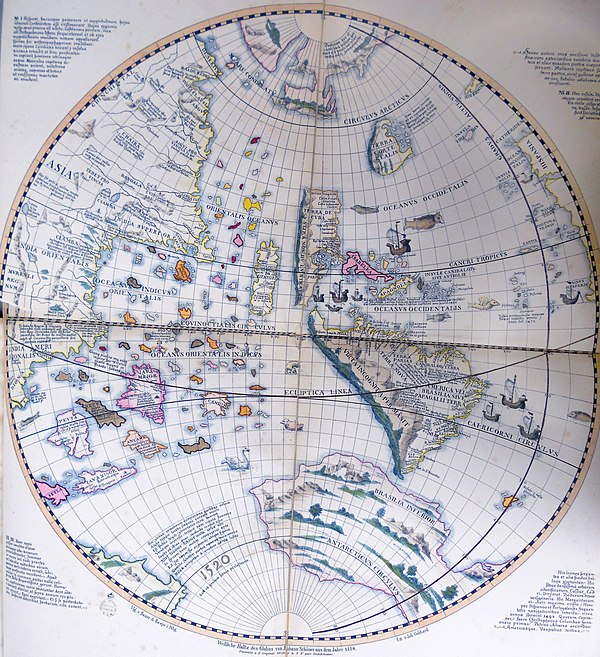
Western hemisphere of the Johannes Schöner globe from 1520.
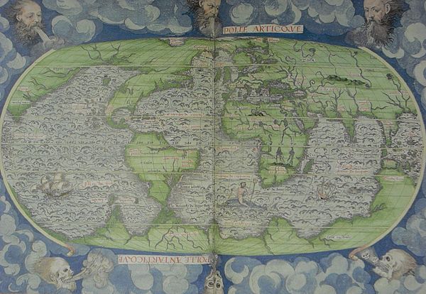
Guillaume Le Testu's 1556 Cosmographie Universel, 4me projection, where the northward extending promontory of the Terre australle is called Grande Jaue.