Sierra Norte de Puebla
Videos
Page
The Sierra Norte de Puebla is a rugged mountainous region accounting for the northern third of the state of Puebla, Mexico. It is at the intersection of the Trans-Mexican Volcanic Belt and the Sierra Madre Oriental, between the Mexican Plateau and the Gulf of Mexico coast. From the Mesoamerican period to the 19th century, this area was part of a larger region called Totonacapan, and area dominated by the Totonac people, extending further east to the Gulf of Mexico. Political maneuvers to weaken the Totonacs led to the region being divided between the modern states of Puebla and Veracruz with the Puebla section given its current name. Until the 19th century, the area was almost exclusively indigenous, with the four main groups still found here today, Totonacs, Nahuas, Otomis and Tepehuas, but coffee cultivation brought in mestizos and some European immigrants who took over political and economic power. While highly marginalized socioeconomically, the area has been developed heavily since the mid 20th century, especially with the building of roadways linking it to the Mexico City area and the Gulf coast.
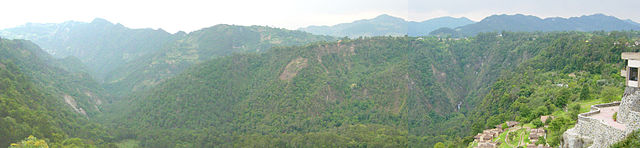
Barranca de los Jilgueros, in the Sierra Norte de Puebla, near Zacatlán, Puebla.

Tejocotal Dam
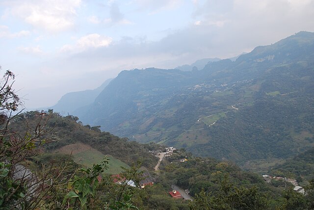
Pahuatlán Valley
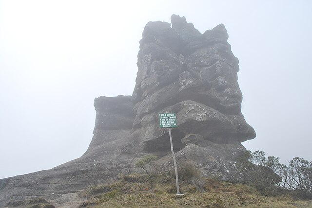
Fog at the Piedras Encimadas Valley in Zacatlán
Totonacapan
Videos
Page
Totonacapan refers to the historical extension where the Totonac people of Mexico dominated, as well as to a region in the modern states of Veracruz and Puebla. The historical territory was much larger than the currently named region, extending from the Cazones River in the north to the Papaloapan River in the south and then west from the Gulf of Mexico into what is now the Sierra Norte de Puebla region and into parts of Hidalgo. When the Spanish arrived, the Totonac ethnicity dominated this large region, although they themselves were dominated by the Aztec Empire. For this reason, they allied with Hernán Cortés against Tenochtitlán. However, over the colonial period, the Totonac population and territory shrank, especially after 1750 when mestizos began infiltrating Totonacapan, taking political and economic power. This continued into the 19th and 20th centuries, prompting the division of most of historical Totonacpan between the states of Puebla and Veracruz. Today, the term refers only to a region in the north of Veracruz where Totonac culture is still important. This region is home to the El Tajín and Cempoala archeological sites as well as Papantla, which is noted for its performance of the Danza de los Voladores.
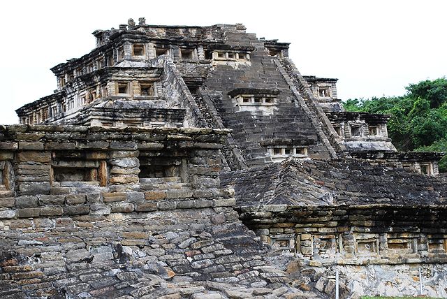
Pyramid of the Niches in El Tajín
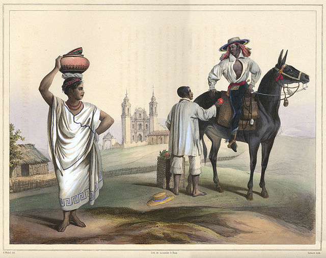
19th century Carl Nebel lithograph of people from Totonacapan
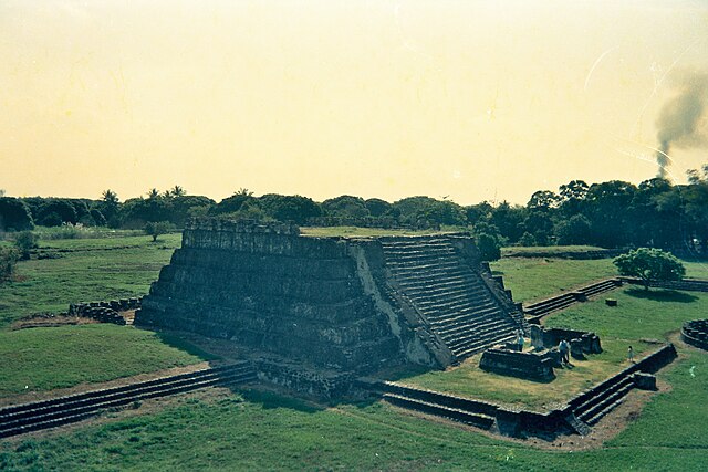
Pyramid at the Cempoala site
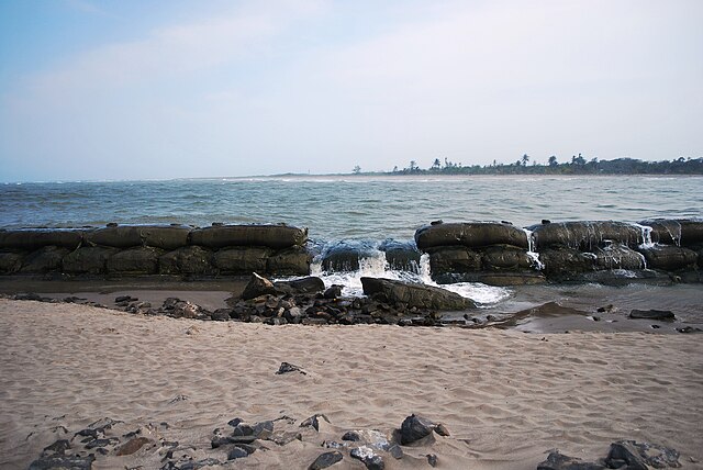
Mouth of the Tecolutla River