Sleaford
Videos
Page
Sleaford is a market town and civil parish in the North Kesteven district of Lincolnshire, England. Centred on the former parish of New Sleaford, the modern boundaries and urban area include Quarrington to the south-west, Holdingham to the north and Old Sleaford to the east. The town is on the edge of the fertile Fenlands, 11 miles north-east of Grantham, 16 mi (26 km) west of Boston, and 17 mi (27 km) south of Lincoln. Its population of 17,671 at the 2011 Census made it the largest settlement in the North Kesteven district; it is the district's administrative centre. Bypassed by the A17 and the A15, it is linked to Lincoln, Newark, Peterborough, Grantham and King's Lynn.
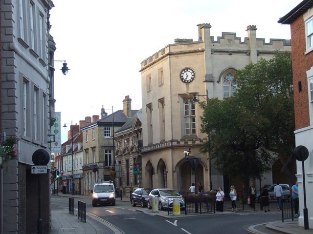
Image: Sleaford town centre geograph.org.uk 2062442
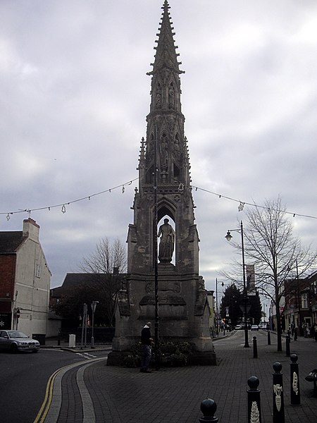
Image: Handley Monument, Sleaford geograph.org.uk 2732094
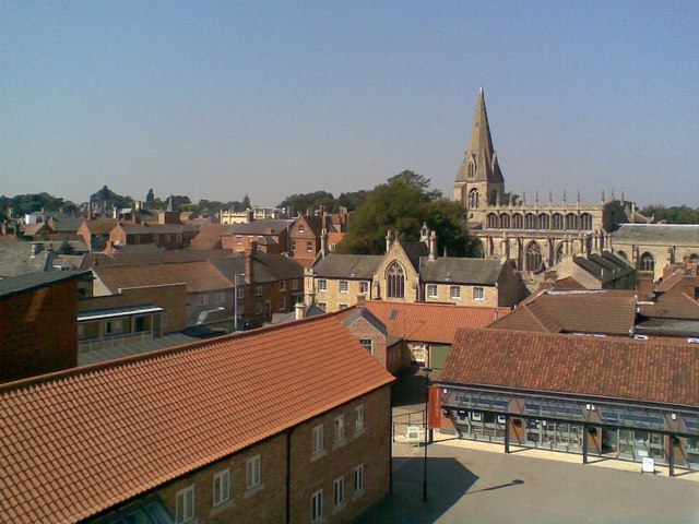
Image: St Deny's Church, Carre's Almshouses and Navigation Yard geograph.org.uk 534061
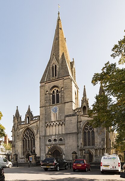
Image: Sleaford, St Denys' church, west end (48774108278)
North Kesteven
Videos
Page
North Kesteven is a local government district in Lincolnshire, England. The council is based in Sleaford. The district also contains the town of North Hykeham, which adjoins the neighbouring city of Lincoln, along with numerous villages and surrounding rural areas.
North Kesteven
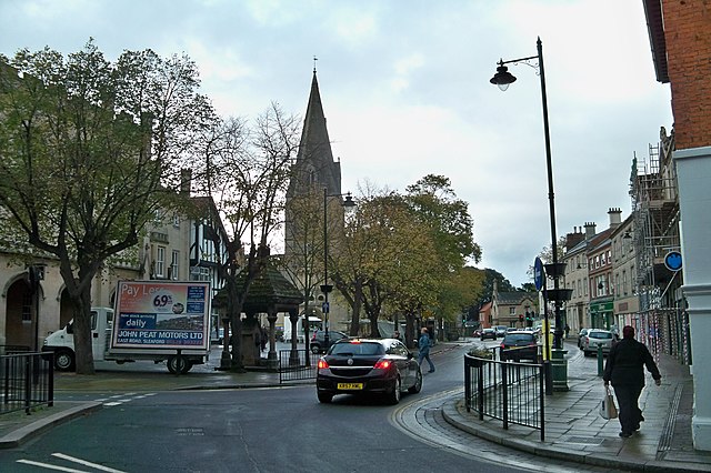
Image: Eastgate St Sleaford geograph.org.uk 2131230

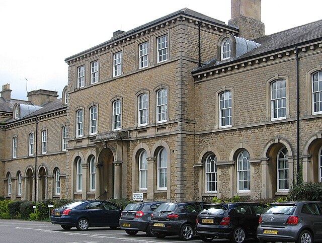
Image: College Hall, Cranwell Avenue, RAF Cranwell geograph.org.uk 3607373
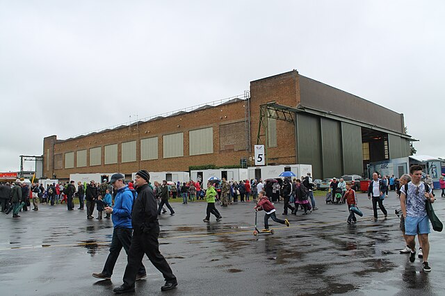
Image: Hangar 5 at RAF Waddington geograph.org.uk 4061277