Southern Alps
Videos
Page
The Southern Alps are a mountain range extending along much of the length of New Zealand's South Island, reaching its greatest elevations near the range's western side. The name "Southern Alps" generally refers to the entire range, although separate names are given to many of the smaller ranges that form part of it.

Snow highlights the mountain range in this satellite image

Southern Alps in winter

View of the western Southern Alps from State Highway 6 near Hari Hari, Westland
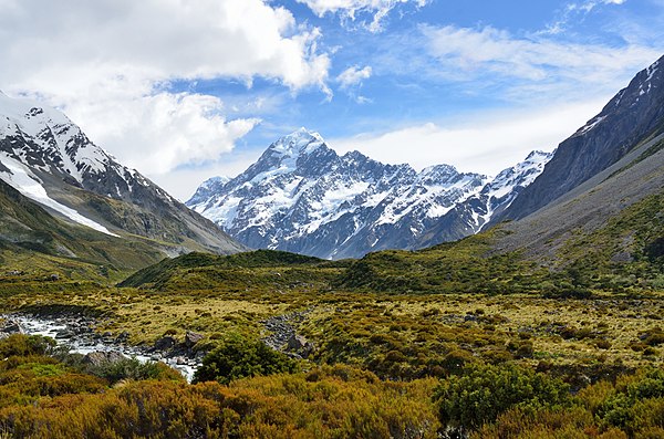
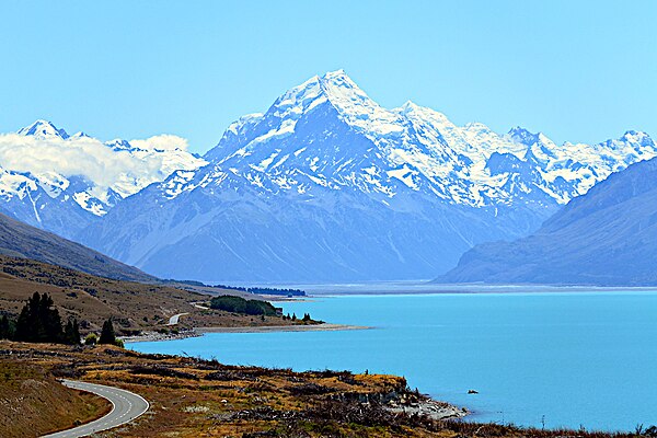
View of Aoraki / Mount Cook, the highest peak, from the Hooker Valley Track
New Zealand
Videos
Page
New Zealand is an island country in the southwestern Pacific Ocean. It consists of two main landmasses—the North Island and the South Island —and over 700 smaller islands. It is the sixth-largest island country by area and lies east of Australia across the Tasman Sea and south of the islands of New Caledonia, Fiji, and Tonga. The country's varied topography and sharp mountain peaks, including the Southern Alps, owe much to tectonic uplift and volcanic eruptions. New Zealand's capital city is Wellington, and its most populous city is Auckland.
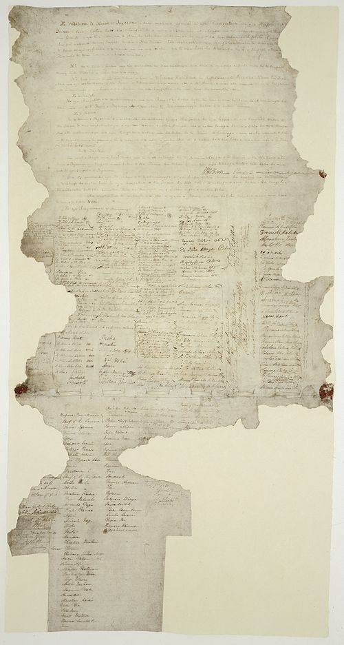
The Waitangi sheet from the Treaty of Waitangi
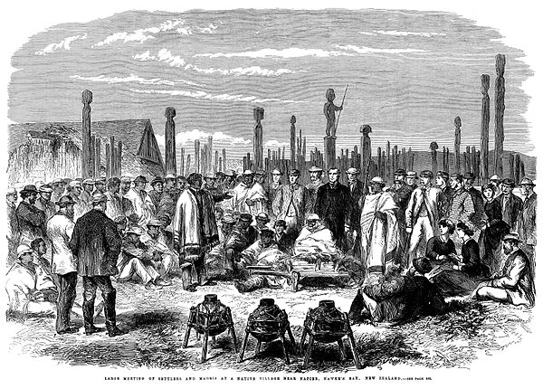
A meeting of European and Māori residents of Hawke's Bay Province. Engraving, 1863.
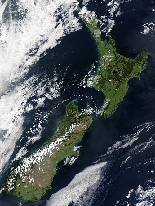
The snow-capped Southern Alps dominate the South Island, while the North Island's Northland Peninsula stretches towards the subtropics.
Aoraki / Mount Cook is the highest point in New Zealand, at 3,724 metres.