Spuyten Duyvil and Port Morris Railroad
Videos
Page
Spuyten Duyvil and Port Morris Railroad was a railroad built in what is today the West Bronx and South Bronx in New York City, United States. It ran from the junction between the West Side Line and the Hudson River Railroad near Spuyten Duyvil Creek, then along the Harlem River to the northwestern shore of the East River in what is today the Port Morris section of the Bronx.

An abandoned section of the Port Morris Branch near Rae Street in Melrose, Bronx
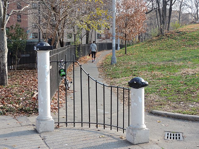
Footpath in St Mary's Park approximates the original surface route of the Port Morris Branch

Trackbed near Southern Boulevard
Port Morris, Bronx
Videos
Page
Port Morris is a mixed use, primarily industrial neighborhood geographically located in the southwest Bronx, New York City. The neighborhood is part of Bronx Community Board 1. Its boundaries are the Major Deegan Expressway and Bruckner Expressway to the north, East 149th Street to the east, the East River to the southeast, the Bronx Kill to the south, and the Harlem River to the west. Its ZIP Codes are 10451 and 10454. The neighborhood is served by the NYPD's 40th Precinct.
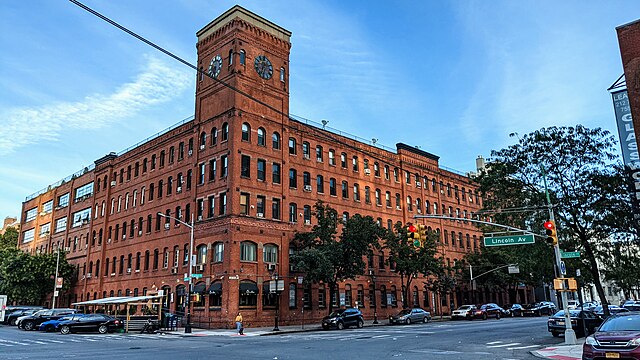
The Clock Tower, former factory now serving residential and commercial tenants

Bruckner Bar & Grill at Bruckner Blvd and Third Avenue

Alexander Avenue part of NYC's Open Street program implemented during COVID19 pandemic

133rd Street gate of New York Post printing plant