St. John's Park
Videos
Page
St. John's Park was a 19th-century park and square, and the neighborhood of townhouses around it, in what is now the Tribeca neighborhood of Lower Manhattan, New York City. The square was bounded by Varick Street, Laight Street, Hudson Street and Beach Street, now also known for that block as Ericsson Place. Although the name "St. John's Park" is still in use, it is no longer a park and is inaccessible to the public.
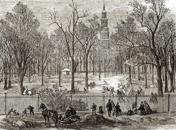
A print of St. John's Park in the winter of 1866, the year it was sold to be replaced by a railroad freight depot. St. John's Chapel can be seen in the background.

A print from St. John's Park's time as a fashionable neighborhood
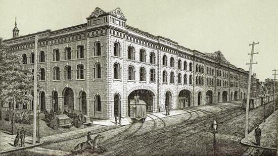
The freight building constructed for the Hudson River Railroad
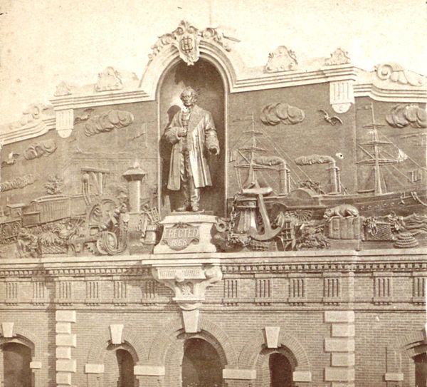
Bas relief on the HRRR terminal at St. John's Park, ca. 1868
Tribeca
Videos
Page
Tribeca, originally written as TriBeCa, is a neighborhood in Lower Manhattan in New York City. Its name is a syllabic abbreviation of "Triangle Below Canal Street". The "triangle" is bounded by Canal Street, West Street, Broadway, and Chambers Street. By the 2010s, a common marketing tactic was to extend Tribeca's southern boundary to either Vesey or Murray Streets to increase the appeal of property listings.

Hudson Street in Tribeca
Textile Building (1901) in the Tribeca Historic District
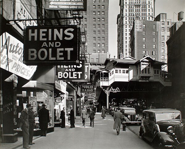
"Radio Row", seen here in 1934, was displaced by the building of the World Trade Center. (Photo by Berenice Abbott)

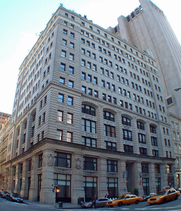
American Thread Building