Steep Holm
Videos
Page
Steep Holm is an English island lying in the Bristol Channel. The island covers 48.87 acres (19.78 ha) at high tide, expanding to 63.26 acres (25.60 ha) at mean low water. At its highest point it is 78 metres (256 ft) above mean sea level. Administratively it forms part of the unitary authority of North Somerset within the ceremonial county of Somerset; between 1 April 1974 and 1 April 1996, it was administered as part of Avon. Nearby is Flat Holm island, part of Wales.

Steep Holm

Calf Rock, the south-east extent of the island

Aerial view of the island

The western plateau
Bristol Channel
Videos
Page
The Bristol Channel is a major inlet in the island of Great Britain, separating South Wales and South West England. It extends from the smaller Severn Estuary of the River Severn to the North Atlantic Ocean. It takes its name from the English city and port of Bristol.
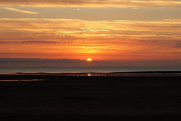
Sunrise viewed from Minehead, showing Steep Holm and Brean Down

The channel as seen from Barry, Wales

The Bristol Channel coast at Ilfracombe, North Devon, looking west towards Lee Bay, with Lundy in the distance

The Bristol Channel looking south from Llantwit Major near Barry on the Glamorgan coast