Strip District, Pittsburgh
Videos
Page
The Strip District is a neighborhood in Pittsburgh, Pennsylvania, United States. It is a one-half square mile area of land northeast of the central business district bordered to the north by the Allegheny River and to the south by portions of the Hill District. The Strip District runs between 11th and 33rd Streets and includes four main thoroughfares—Railroad Street/Waterfront Place, Smallman Street, Penn Avenue, and Liberty Avenue—as well as various side streets.
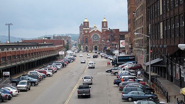
A view of Smallman Street in 2011

Pittsburgh's Strip District on February 5, 2024. Photo by Steven Adams
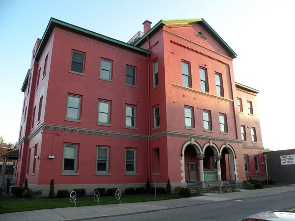
Springfield Public School, built in 1871, now the 31st Street Lofts.

St. Stanislaus Kostka Church, built in 1891.
Pittsburgh
Videos
Page
Pittsburgh is a city in the Commonwealth of Pennsylvania and the county seat of Allegheny County. It is the second-most populous city in Pennsylvania after Philadelphia and the 68th-most populous city in the U.S., with a population of 302,971 as of the 2020 census. The city anchors the Pittsburgh metropolitan area of Western Pennsylvania. Its population of 2.457 million is the largest in both the Ohio Valley and Appalachia, the second-largest in Pennsylvania, the 7th-largest in the Mid-Atlantic region and the 26th-largest in the U.S. Pittsburgh is the principal city of the greater Pittsburgh–Weirton–Steubenville combined statistical area which includes parts of Ohio and West Virginia.
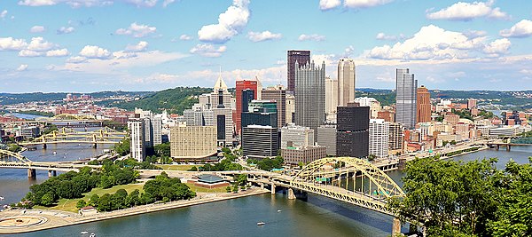
Image: Duquesne Incline (50076338942) (cropped)

Image: Phipps Conservatory & Botanical Gardens 132
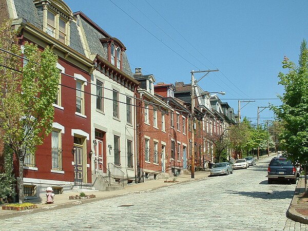
Image: Buena Vista Street, Mexican War Streets, Pittsburgh, 2008 05 27

Image: Andy Warhol Museum Interview Display