Sumba, natively also spelt as Humba or Hubba is an Indonesian island located in the Eastern Indonesia and administratively part of the East Nusa Tenggara provincial territory. Sumba has an area of 11,243.78 square kilometres, about the same size as Jamaica or Hawaii (Island). The population was 686,113 at the 2010 Census and 779,049 at the 2020 Census; the official estimate as of mid-2023 was 820,506. To the northwest of Sumba is Sumbawa, to the northeast, across the Sumba Strait, is Flores, to the east, across the Savu Sea, is Timor, and to the south, across part of the Indian Ocean, is Australia.
Native women of Sumba wearing the traditional Sumba clothing in Kanangar district of East Sumba, c. 1900s.
The Hinggi, typical cultural woven cloth of native Sumba men depicts the Sumba mythological creatures.
The governmental seal of Dutch colonization at Watuhadang of Umalulu district in East Sumba.
August 2003 NASA satellite photograph of the Lesser Sunda Islands; Sumba is in the bottom centre
The Lesser Sunda Islands, also known as Nusa Tenggara Islands, are an archipelago in Maritime Southeast Asia. Most of the Lesser Sunda Islands are located within the Wallacea region, except for the Bali province which is west of the Wallace Line and is within the Sunda Shelf. Together with the Greater Sunda Islands to the west they make up the Sunda Islands. The islands are part of a volcanic arc, the Sunda Arc, formed by subduction along the Sunda Trench in the Java Sea. Slightly over 20 million people live on the islands. Etymologically, Nusa Tenggara means "Southeast Islands" from the words of nusa which means 'island' from Old Javanese language and tenggara means 'southeast'.
Satellite picture of the Lesser Sunda Islands
Banta Island of Lesser Sunda Islands
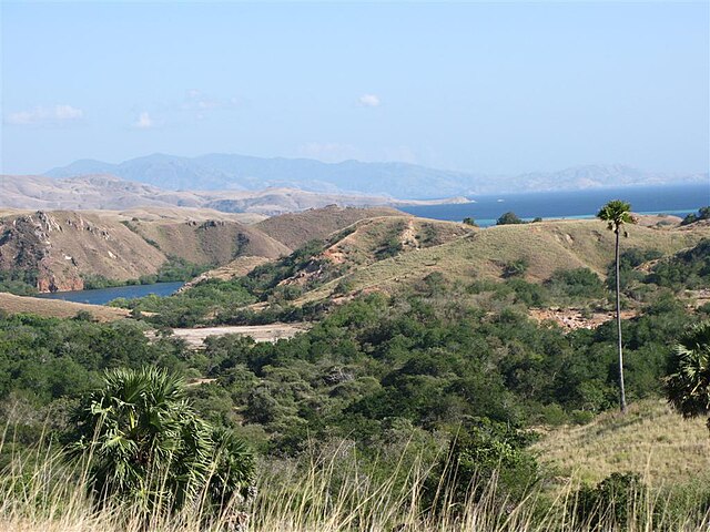
Rinca island
Komodo dragon at Komodo National Park