Superior National Forest, part of the United States National Forest system, is located in the Arrowhead Region of the state of Minnesota between the Canada–United States border and the north shore of Lake Superior. The area is part of the greater Boundary Waters region along the border of Minnesota and the Canadian province of Ontario, a historic and important thoroughfare in the fur trading and exploring days of New France and British North America.
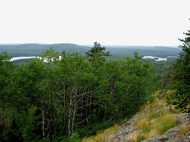
This view from Eagle Mountain shows features of a peneplain; even in an area of significant local relief, the distant horizon is relatively flat.
A bull moose in the park.
Eagle Mountain, the highest natural point in Minnesota at 2,301 feet (701 m) is located in the Superior National Forest.
The Arrowhead Region is located in the northeastern part of the U.S. state of Minnesota, so called because of its pointed shape. The predominantly rural region encompasses 10,635.26 square miles (27,545.2 km2) of land area and includes Carlton, Cook, Lake and Saint Louis counties. Its population at the 2000 census was 248,425 residents. The region is loosely defined, and Aitkin, Itasca, and Koochiching counties are sometimes considered as part of the region, increasing the land area to 18,221.97 square miles (47,194.7 km2) and the population to 322,073 residents. Primary industries in the region include tourism and iron mining.
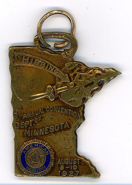
American Legion Conference, Hibbing, Minnesota 1927
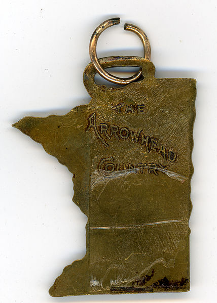
American Legion Conference, Hibbing, Minnesota 1927, reverse
Minnesota Arrowhead Region 1941-42 (WPA)