Surveying or land surveying is the technique, profession, art, and science of determining the terrestrial two-dimensional or three-dimensional positions of points and the distances and angles between them. These points are usually on the surface of the Earth, and they are often used to establish maps and boundaries for ownership, locations, such as the designed positions of structural components for construction or the surface location of subsurface features, or other purposes required by government or civil law, such as property sales.
A surveyor using a total station
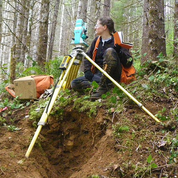
A student using a theodolite in field
Table of Surveying, 1728 Cyclopaedia
A railroad surveying party at Russel's Tank, Arizona in the 1860s
Geodesy is the science of measuring and representing the geometry, gravity, and spatial orientation of the Earth in temporally varying 3D. It is called planetary geodesy when studying other astronomical bodies, such as planets or circumplanetary systems.
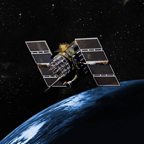
A modern instrument for geodetic measurements using satellites
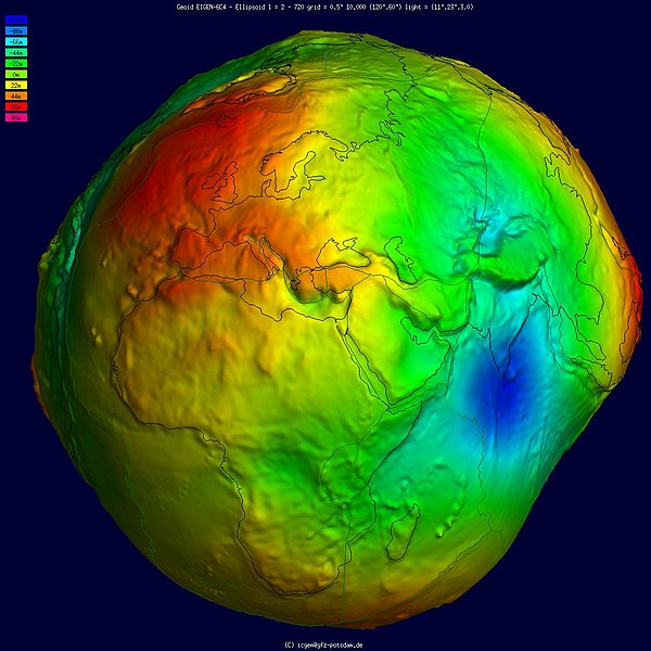
Geoid, an approximation for the shape of the Earth; shown here with vertical exaggeration (10000 vertical scaling factor).
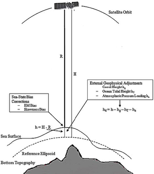
Height measurement using satellite altimetry
GPS Block IIA satellite orbits over the Earth.