Tahoe National Forest
Videos
Page
Tahoe National Forest is a United States National Forest located in California, northwest of Lake Tahoe. It includes the 8,587-foot (2,617 m) peak of Sierra Buttes, near Sierra City, which has views of Mount Lassen and Mount Shasta. It is located in parts of six counties: Sierra, Placer, Nevada, Yuba, Plumas and El Dorado. The forest has a total area of 871,495 acres. Its headquarters is in Nevada City, California. There are local ranger district offices in Camptonville, Foresthill, Sierraville and Truckee.

Castle Valley near Lake Tahoe

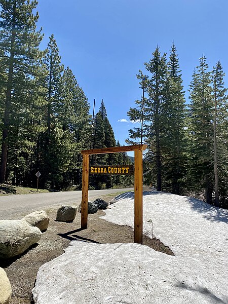
Entrance sign
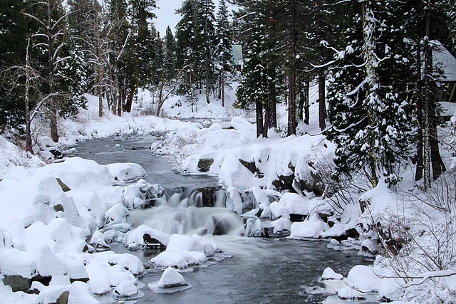
Winter season
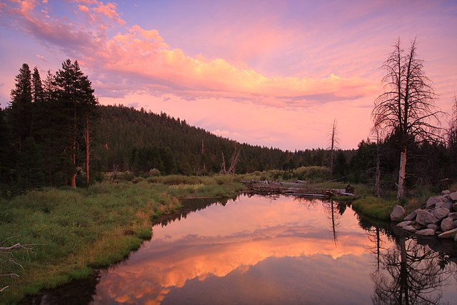
Sunset over the Little Truckee River
Sierra County, California
Videos
Page
Sierra County is a county located in the U.S. state of California. As of the 2020 census, the population was 3,236, making it California's second-least populous county. The county seat is Downieville; the sole incorporated city is Loyalton. The county is in the Sierra Nevada, northeast of Sacramento on the border with Nevada.

Image: Downieville, California, at Main and Commercial St., looking south
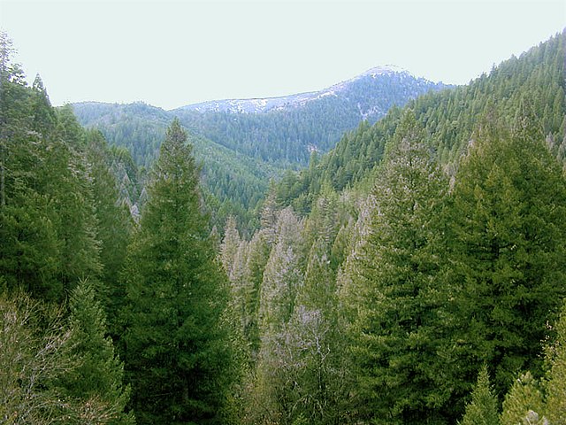
Image: Conifer forest edit
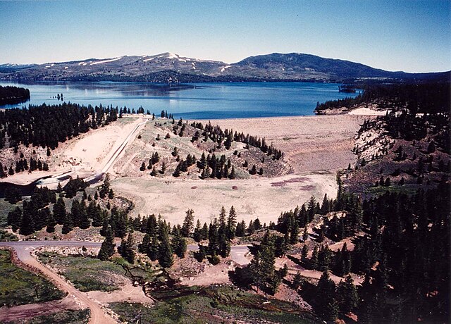
Image: Stampede Dam
Sierra County, California, near Plumas National Forest