Tangail District
Videos
Page
Tangail is a district (zila) in the central region of Bangladesh. In 1969, Tangail district was created by Tangail Mohokuma from its 237 square kilometers of land and 3177 square kilometers of land acquired from Mymensingh district. It is the largest district of Dhaka division by area and second largest by population. The population of Tangail zila is about 4 million and its area is 3,414.28 square kilometres (1,318.26 sq mi). The main city of the district is Tangail. It is surrounded by Jamalpur District on the north, the Dhaka and Manikganj Districts on the south, Mymensingh and Gazipur on the east, and Sirajganj on the west.
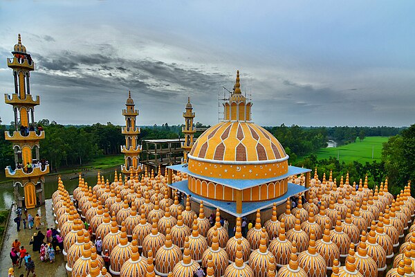
Image: 201 Dome Mosque 48

Image: Jomidar bari
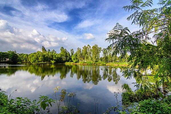
Image: Hem pond 2
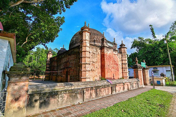
Image: Atia mosque bd
Mymensingh District
Videos
Page
Mymensingh District is a district in Mymensingh Division, Bangladesh, and is bordered on the north by Meghalaya, a state of India and the Garo Hills, on the south by Gazipur District, on the east by the districts of Netrokona and Kishoreganj, and on the west by the districts of Sherpur, Jamalpur and Tangail. Mymensingh is the 8th administrative divisional headquarter and 12th city corporation of Bangladesh. According to Ministry of Public Administration, Mymensingh is ranked 4th in district status. The density of Mymensingh city is 44,458/km2 which is the second most densely populated city in Bangladesh. Mymensingh attracts 25 percent of health tourists visiting Bangladesh. Once known as the largest district of the Indian subcontinent. Mymensingh town is the district headquarters.
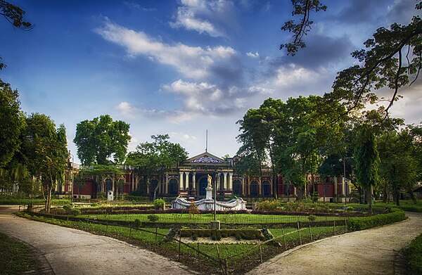
Image: A front view of Shashi Lodge 4
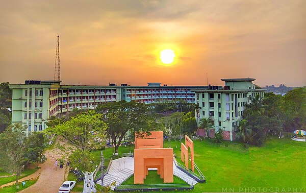
Image: JKKNIU Top View

Image: College of Animal Husbandry and Veterinary Science
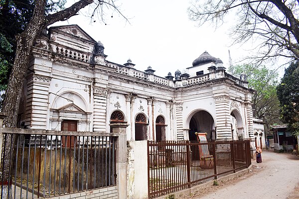
Image: Aat Ani Zamindar Bari (1)