Taveuni
Videos
Page
Taveuni is the third-largest island in Fiji, after Viti Levu and Vanua Levu, with a total land area of 434 square kilometres. The cigar-shaped island, a massive shield volcano which rises from the floor of the Pacific Ocean, is situated 6.5 kilometres east of Vanua Levu, across the Somosomo Strait. It belongs to the Vanua Levu Group of islands and is part of Fiji's Cakaudrove Province within the Northern Division.
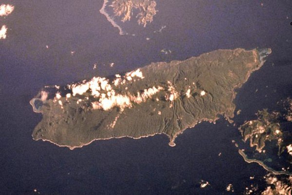
NASA Space Shuttle image of Taveuni. Top of image is NW.

Bouma Falls, 1998
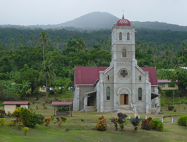
Wairiki Mission, 2003

Coastal view towards Matagi Island, 2010
Fiji
Videos
Page
Fiji, officially the Republic of Fiji, is an island country in Melanesia, part of Oceania in the South Pacific Ocean. It lies about 1,100 nautical miles north-northeast of New Zealand. Fiji consists of an archipelago of more than 330 islands—of which about 110 are permanently inhabited—and more than 500 islets, amounting to a total land area of about 18,300 square kilometres (7,100 sq mi). The most outlying island group is Ono-i-Lau. About 87% of the total population of 924,610 live on the two major islands, Viti Levu and Vanua Levu. About three-quarters of Fijians live on Viti Levu's coasts, either in the capital city of Suva, or in smaller urban centres such as Nadi or Lautoka. The interior of Viti Levu is sparsely inhabited because of its terrain.
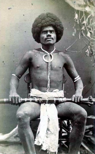
A Fijian mountain warrior. Photograph by Francis Herbert Dufty, 1870s

Bure-kalou or temple, and scene of cannibalism
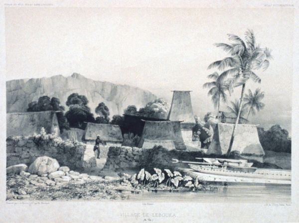
Levuka, 1842
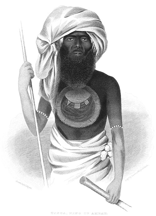
Ratu Tanoa Visawaqa