Territory of Papua
Videos
Page
The Territory of Papua comprised the southeastern quarter of the island of New Guinea from 1883 to 1975. In 1883, the Government of Queensland annexed this territory for the British Empire. The United Kingdom Government refused to ratify the annexation but in 1884 a protectorate was proclaimed over the territory, then called "British New Guinea". There is a certain ambiguity about the exact date on which the entire territory was annexed by the British. The Papua Act 1905 recites that this happened "on or about" 4 September 1888. On 18 March 1902, the Territory was placed under the authority of the Commonwealth of Australia. Resolutions of acceptance were passed by the Commonwealth Parliament, which accepted the territory under the name of Papua.
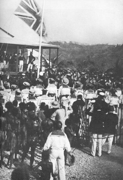
The British flag being raised in 1883 after Queensland annexed the southern part of New Guinea

Australian troops at Milne Bay, Papua. The Australian army was the first to inflict defeat on the Imperial Japanese Army during World War II at the Battle of Milne Bay of August–September 1942.
New Guinea
Videos
Page
New Guinea is the world's second-largest island, with an area of 785,753 km2 (303,381 sq mi). Located in Melanesia in the southwestern Pacific Ocean, the island is separated from Australia by the 150-kilometre wide Torres Strait, though both landmasses lie on the same continental shelf, and were united during episodes of low sea level in the Pleistocene glaciations as the combined landmass of Sahul. Numerous smaller islands are located to the west and east. The island's name was given by Spanish explorer Yñigo Ortiz de Retez during his maritime expedition of 1545 due to the resemblance of the indigenous peoples of the island to those in the African region of Guinea.

Mount Bosavi

Highlands of Papua New Guinea

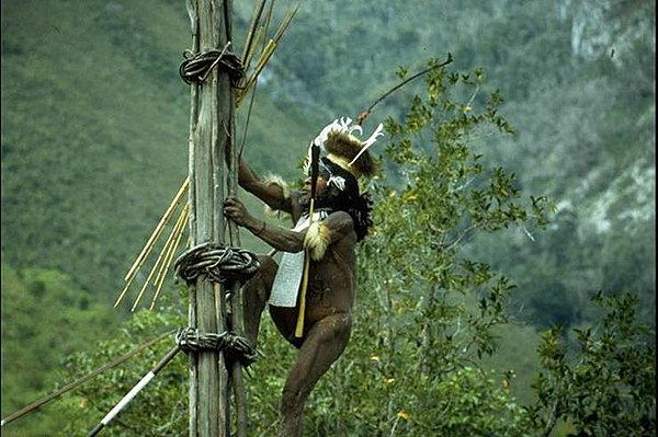
Yali tribesman in the Baliem Valley
Yali Mabel, Kurulu Village War Chief at Baliem Valley