The Thai–Lao Border War, or known in Thai as Battle of Ban Romklao, was a short confrontation between Thai and Lao forces. It involved a dispute over the map made by French surveyors in 1907 to mark the borders between Siam and French Indochina in the southern Luang Prabang Range. Ownership of the village of Ban Romklao on the border of Phitsanulok Province and three small border villages on the edge of Uttaradit Province was left unclear. This is the same map underlying the Cambodian–Thai border dispute. The agreed criterion for determining ownership was the natural watershed, but the French map makers at times ignored this. As the agreed-upon river Hoeng separated into two tributaries, both parties claimed different ones as the border, which, alongside logging disputes, gave rise to this conflict.
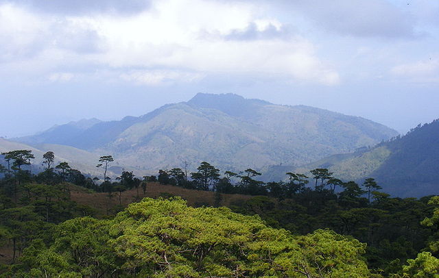
เนิน 1428 (Hill 1428), the battlefield of Thai–Lao Border War of 1988, view from Phu Soidao National Park, Chat Trakan, Phitsanulok.
The Luang Prabang Range, named after Luang Prabang, is a mountain range straddling northwestern Laos and Northern Thailand.
Most of the range is located in Sainyabuli Province (Laos), as well as Nan and Uttaradit Provinces (Thailand), with small parts in Phitsanulok and Loei Provinces. Several rivers such as the Nan, Pua and Wa rivers, have their sources in this range. Phu Fa waterfall, the biggest and the tallest waterfall in Nan Province, is also located in these mountains. This range is part of the Luang Prabang montane rain forests ecoregion.
Noen 1428 (Hill no. 1428), the battlefield of the Thai–Laotian Border War of 1988; view from Phu Soi Dao National Park, Phitsanulok Province, Thailand
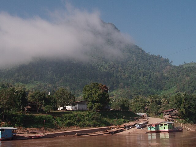
On the Laotian side, the mountains of the range reach the shores of the Mekong
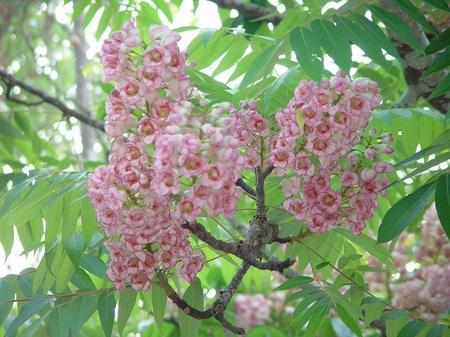
Bretschneidera sinensis (Thai: ชมพูภูคา Chompoo Phu Kha), a tree threatened by habitat loss that in Thailand is found only in this range