Thwaites Glacier
Videos
Page
Thwaites Glacier is an unusually broad and vast Antarctic glacier located east of Mount Murphy, on the Walgreen Coast of Marie Byrd Land. It was initially sighted by polar researchers in 1940, mapped in 1959–1966 and officially named in 1967, after the late American glaciologist Fredrik T. Thwaites. The glacier flows into Pine Island Bay, part of the Amundsen Sea, at surface speeds which exceed 2 kilometres (1.2 mi) per year near its grounding line. Its fastest-flowing grounded ice is centered between 50 and 100 kilometres east of Mount Murphy. Like many other parts of the cryosphere, it has been adversely affected by climate change, and provides one of the more notable examples of the retreat of glaciers since 1850.

Thwaites Glacier

Photo taken in 2019 by the Sentinel-2 satellite of the European Space Agency. It shows the glacier, the ice shelf on its eastern side, and the remains of the ice tongue in the west, now reduced to a "mélange" of icebergs which is much less effective at supporting the glacier and preventing calving events.

A close look at the shelf.

The B-22 iceberg broke off from the Thwaites Glacier Tongue on March 15, 2002.
Marie Byrd Land
Videos
Page
Marie Byrd Land (MBL) is an unclaimed region of Antarctica. With an area of 1,610,000 km2 (620,000 sq mi), it is the largest unclaimed territory on Earth. It was named after the wife of American naval officer Richard E. Byrd, who explored the region in the early 20th century.
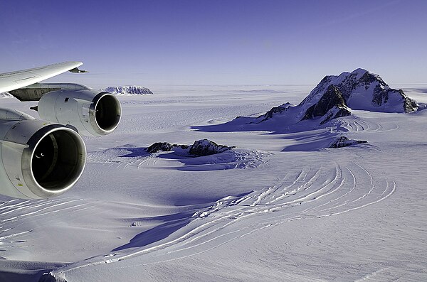
Glaciers and rock outcrops in Marie Byrd Land seen from NASA's DC-8 aircraft on October 17, 2011