Topography
Videos
Page
Topography is the study of the forms and features of land surfaces. The topography of an area may refer to the land forms and features themselves, or a description or depiction in maps.
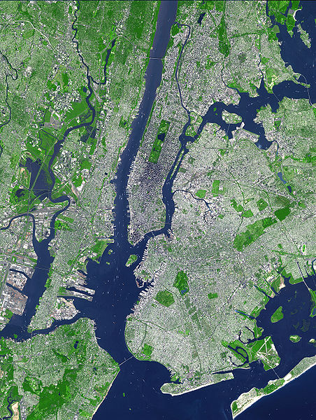
This false-color satellite image illustrates topography of the urban core of the New York metropolitan area, with Manhattan at its center.
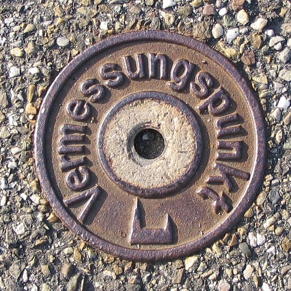
A surveying point in Germany
Terrain
Videos
Page
Terrain or relief involves the vertical and horizontal dimensions of land surface. The term bathymetry is used to describe underwater relief, while hypsometry studies terrain relative to sea level. The Latin word terra means "earth."

A shaded and colored image (i.e. terrain is enhanced) of varied terrain from the Shuttle Radar Topography Mission. This shows an elevation model of New Zealand's Alpine Fault running about 500 km (310 mi) long. The escarpment is flanked by a vast chain of hills between the fault and the mountains of the Southern Alps. Northeast is towards the top.