Turville
Videos
Page
Turville is a village and civil parish in Buckinghamshire, England. It is in the Chiltern Hills, 5 miles (8.0 km) west of High Wycombe, 6 miles (9.7 km) east-southeast of Watlington, 7 miles (11 km) north of Henley-on-Thames and 2 miles from the Oxfordshire border. The name is Anglo-Saxon in origin and means 'dry field'. It was recorded in the Anglo-Saxon Chronicle in 796 as Thyrefeld.
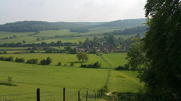
View from a hill overlooking Turville

Houses near St Mary's churchyard, Cobstone Windmill in background.
Chiltern Hills
Videos
Page
The Chiltern Hills are a chalk escarpment in southern England, northwest of London, covering 660 square miles (1,700 km2) across Oxfordshire, Buckinghamshire, Hertfordshire, and Bedfordshire, stretching 45 miles (72 km) from Goring-on-Thames in the southwest to Hitchin in the northeast. The hills are 12 miles (19 km) at their widest.
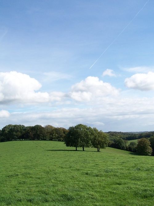
Near Nettlebed, Oxfordshire

Chalk visible in ploughed soil at the foot of the Chiltern Hill escarpment near Shirburn on the Buckinghamshire/Oxfordshire border
Viewed from The Ridgeway: eastern trailhead on Ivinghoe Beacon

Stokenchurch Gap, a cutting built to carry the M40 motorway through a section of the Chiltern Hills