U.S. Route 10 in Michigan
Videos
Page
US Highway 10 (US 10) is a part of the United States Numbered Highway System that runs from West Fargo, North Dakota, to the Lower Peninsula of the US state of Michigan. The highway enters Michigan on SS Badger, which crosses Lake Michigan between Manitowoc, Wisconsin, and Ludington. As the highway crosses the state, it is a two-lane undivided highway between Ludington and Farwell and a freeway from Farwell east to the highway's terminus in Bay City. US 10 runs concurrently with US 127 in the Clare area along a section of freeway that includes a welcome center in the median. Outside of the Clare and Midland areas, US 10 runs through rural areas of West and Central Michigan in a section of the Manistee National Forest as well as farmfields.
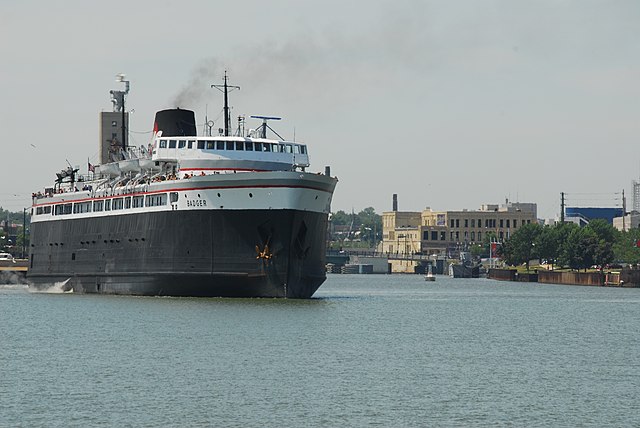
SS Badger connects the Wisconsin and Michigan segments of US 10

Roadside park east of Baldwin
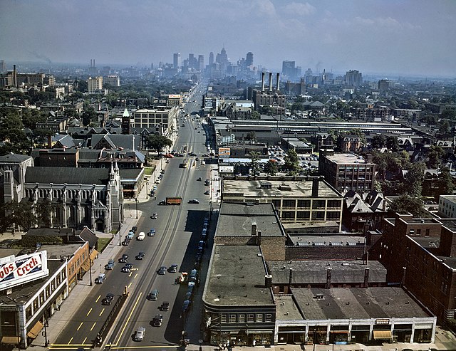
Woodward Avenue in Detroit in 1942, then part of US 10
The eastern terminus of US 10 in Monitor Township, looking east. From this point onward, the road continues as M-25.
Lower Peninsula of Michigan
Videos
Page
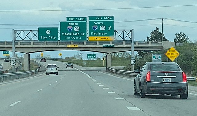
The Lower Peninsula of Michigan – also known as Lower Michigan – is the larger, southern and less elevated of the two major landmasses that make up the U.S. state of Michigan; the other being the Upper Peninsula, which is separated by the Straits of Mackinac. It is surrounded by water on all sides except its southern border, which it shares with Indiana and Ohio. Although the Upper Peninsula is commonly referred to as "the U.P.", it is uncommon for the Lower Peninsula to be called "the L.P."
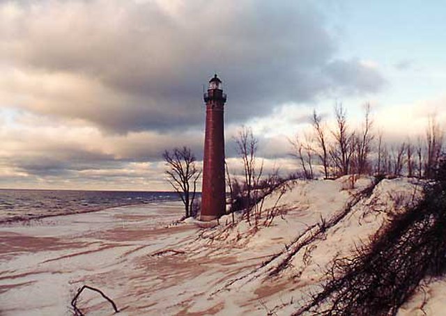
The Little Sable Point Light Station on Lake Michigan in Oceana County