U.S. Route 52 (US 52) is a major United States highway in the central United States that extends from the northern to southeastern region of the United States. Contrary to most other even-numbered U.S. Highways, US 52 primarily follows a northwest–southeast route, and is signed north–south or east–west depending on the local orientation of the route. The highway's northwestern terminus is in Portal, North Dakota at the Canada–United States border, where it continues as Saskatchewan Highway 39. Its southeastern terminus is in Charleston, South Carolina, at Number 2 Meeting Street and White Point Garden along the Charleston Harbor.
US 52 in Rochester
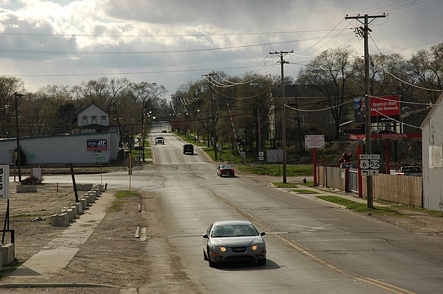
US 52 in downtown Bellevue
Looking west at the western US 52 and US 6 (McDonough Street) split on the southwest side of Joliet, Illinois.
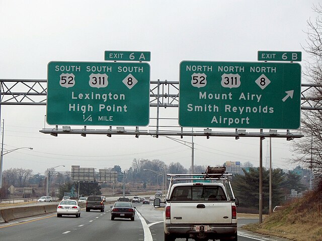
The north–south directions of US 52 in Winston-Salem
United States Numbered Highway System
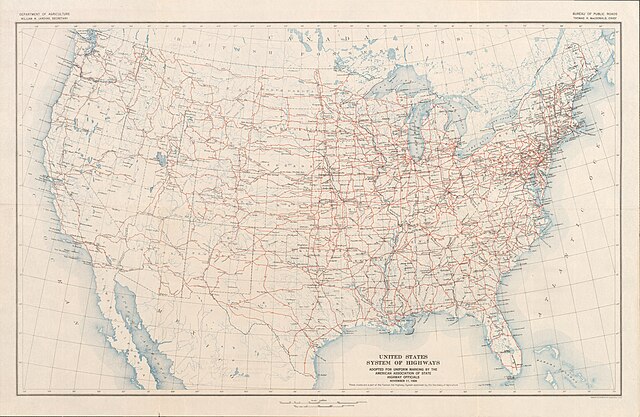
The United States Numbered Highway System is an integrated network of roads and highways numbered within a nationwide grid in the contiguous United States. As the designation and numbering of these highways were coordinated among the states, they are sometimes called Federal Highways, but the roadways were built and have always been maintained by state or local governments since their initial designation in 1926.
The "final" U.S. Highway plan as approved November 11, 1926
This sign, photographed in 1941 on US 99 between Seattle, Washington, and Portland, Oregon, illustrates one rationale for a federal highway system: national defense.