Ulster Canal
Videos
Page
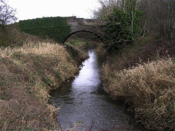
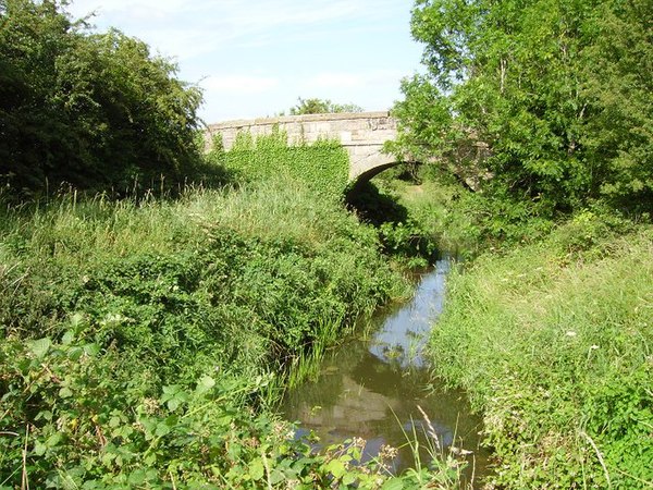
The Ulster Canal is a canal running through part of County Armagh, County Tyrone and County Fermanagh in Northern Ireland and County Monaghan in the Republic of Ireland. The Ulster Canal was built between 1825 and 1842 and was 74 km (46 mi) long with 26 locks. It ran from Charlemont on the River Blackwater to near Wattlebridge on the Finn River, south-east of Upper Lough Erne. It was an ill-considered venture, with the locks built narrower than the other Irish waterways, preventing through trade, and an inadequate water supply. It was an abject failure commercially, and contributed to the collapse of the Lagan Navigation Company, who took it over from the government but were then refused permission to abandon it when they could not afford the maintenance costs. It finally closed in 1931. Waterways Ireland started work on rebuilding the canal at its southern end in 2015.
The remains of the Ulster Canal at Tyholland

The canal at Clones Road, Monaghan.
Ulster Canal at Tyholland.
County Armagh
Videos
Page
County Armagh is one of the six counties of Northern Ireland and one of the traditional thirty-two counties of Ireland. It is located in the province of Ulster and adjoins the southern shore of Lough Neagh. It borders the Northern Irish counties of Tyrone to the west and Down to the east. The county borders Louth and Monaghan to the south and southwest, which are in the Republic of Ireland. It is named after its county town, Armagh, which derives from the Irish Ard Mhacha, meaning "Macha's height". Macha was a sovereignty goddess in Irish mythology and is said to have been buried on a wooded hill around which the town of Armagh grew. County Armagh is colloquially known as the "Orchard County" because of its many apple orchards.
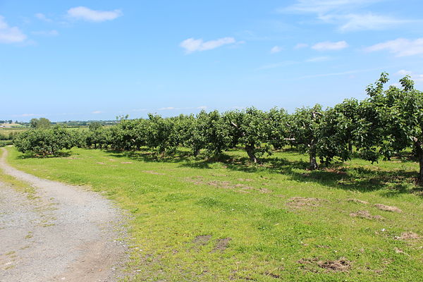
An orchard near Drummannon

The Baronies of County Armagh (1900)
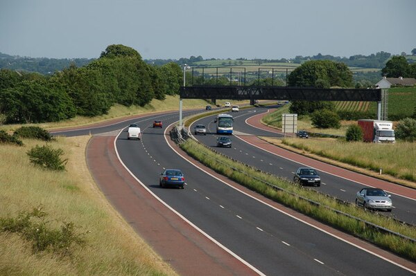
The M1 near Lurgan

Portadown railway station