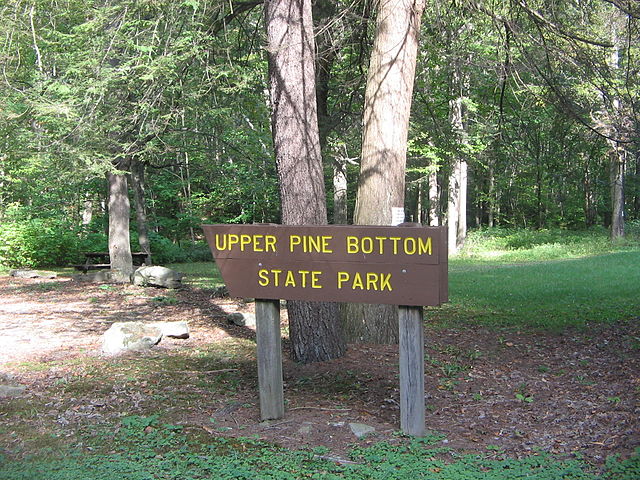
Upper Pine Bottom State Park
Videos
Page
Upper Pine Bottom State Park is a 5-acre (2.0 ha) Pennsylvania state park in Lycoming County, Pennsylvania in the United States. The park is in Cummings Township on Pennsylvania Route 44 and is surrounded by the Tiadaghton State Forest. It is on Upper Pine Bottom Run, which gave the park its name and is a tributary of Pine Creek. Upper Pine Bottom State Park is in the Pine Creek Gorge, where the streams have cut through five major rock formations from the Devonian and Carboniferous periods.
Upper Pine Bottom State Park was a Bureau of Forests picnic area until its 1962 transfer to the Bureau of State Parks.
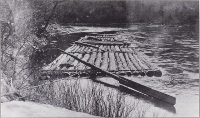
A log raft on Pine Creek
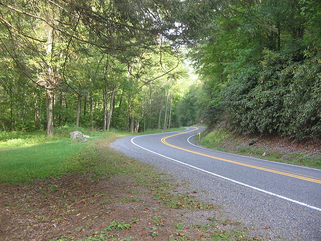
Pennsylvania Route 44 passes through the park, and was the scene of a wildfire in 1894.
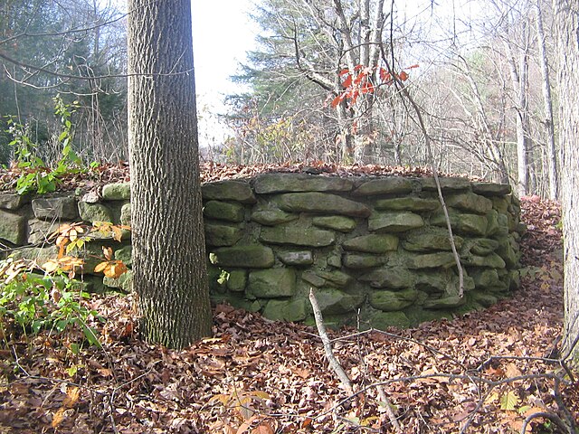
The only remnant of the former picnic pavilion is this stone foundation.
Cummings Township, Lycoming County, Pennsylvania
Videos
Page
Cummings Township is a township in Lycoming County, Pennsylvania, United States. The population was 264 at the 2020 census, down from 273 in 2010. It is part of the Williamsport, Pennsylvania Metropolitan Statistical Area. Cummings Township is home to Little Pine State Park and Upper Pine Bottom State Park.
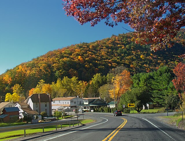
Village of Waterville

Picnic table and Upper Pine Bottom Run at Upper Pine Bottom State Park