Vasquez Rocks Natural Area Park is a 932-acre (377-hectare) park located in the Sierra Pelona in northern Los Angeles County, California. It is known for its rock formations, the result of sedimentary layering and later seismic uplift. It is located near the town of Agua Dulce, between the cities of Santa Clarita and Palmdale. The area is visible from the Antelope Valley Freeway. Its location approximately 25 miles (40 km) from downtown Los Angeles places it within Hollywood's "studio zone" and makes it a popular filming location for films and television programs.
Vasquez Rocks
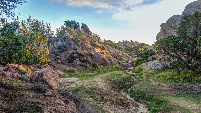
Shaded strands of scrub oak, California juniper, California sagebrush, and short grasses within Vasquez Rocks
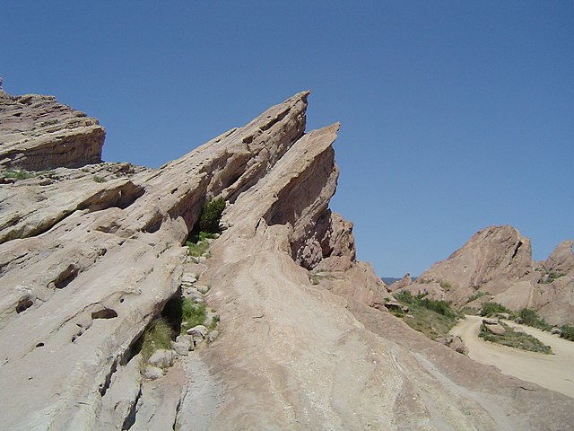
A prominent rock formation featured in numerous films and television productions.
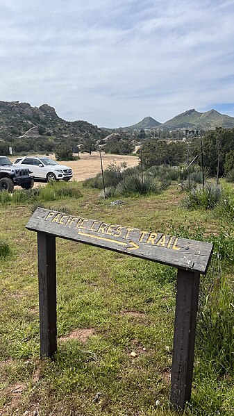
A Pacific Crest Trail sign at Vasquez Rocks
The Sierra Pelona, also known as the Sierra Pelona Ridge or the Sierra Pelona Mountains, is a mountain ridge in the Transverse Ranges in Southern California. Located in northwest Los Angeles County, the ridge is bordered on the north by the San Andreas fault and lies within and is surrounded by the Angeles National Forest.
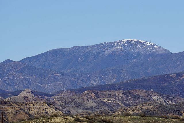
View from Santa Clarita
Aerial view of the Sierra Pelona Mountains and San Andreas Fault
Burnt Peak is the tallest mountain in the Sierra Pelona Mountains.