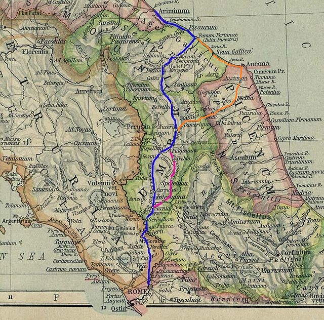
The Via Flaminia was an ancient Roman road leading from Rome over the Apennine Mountains to Ariminum (Rimini) on the coast of the Adriatic Sea, and due to the ruggedness of the mountains was the major option the Romans had for travel between Etruria, Latium, Campania, and the Po Valley. The section running through northern Rome is where Constantine the Great, allegedly, had his famous vision of the Chi Rho, leading to his conversion to Christianity and the Christianization of the Roman Empire.
The road in Carsulae
Route of the Via Flaminia; the purple route indicates the Via Flaminia Nova. The orange route indicates the variant that crosses the central part of the Marches and reaches the Adriatic in Ancona
The bridge of Narni in an 1826 painting by Jean-Baptiste-Camille Corot
The road passing through Carsulae
Roman roads were physical infrastructure vital to the maintenance and development of the Roman state, and were built from about 300 BC through the expansion and consolidation of the Roman Republic and the Roman Empire. They provided efficient means for the overland movement of armies, officials, civilians, inland carriage of official communications, and trade goods. Roman roads were of several kinds, ranging from small local roads to broad, long-distance highways built to connect cities, major towns and military bases. These major roads were often stone-paved and metaled, cambered for drainage, and were flanked by footpaths, bridleways and drainage ditches. They were laid along accurately surveyed courses, and some were cut through hills, or conducted over rivers and ravines on bridgework. Sections could be supported over marshy ground on rafted or piled foundations.
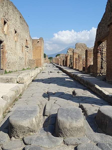
A Roman street in Pompeii
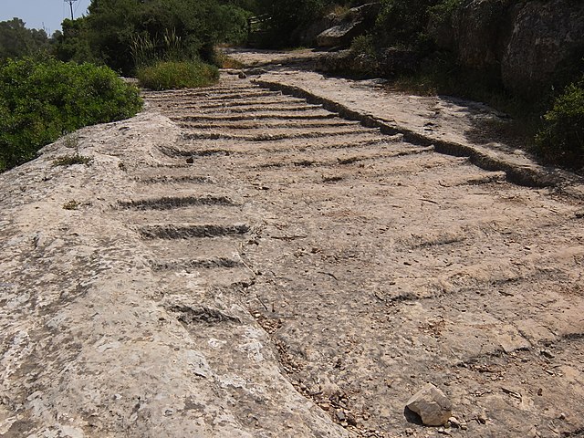
Old Roman road, leading from Jerusalem to Beit Gubrin, adjacent to regional highway 375 in Israel
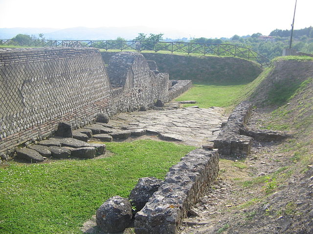
The central road of Aeclanum.
Section of the Via delle Gallie (Valle d'Aosta) in Italy, built by excavating the steep rock slope at left