The District of Vila Real is a district of northern Portugal. With an area of 4,239 km2 (1,637 sq mi), the district is located east of the port city of Porto and north of the Douro River. Vila Real has always belonged to the historical province of Trás-os-Montes. Approximate population in the 2001 census was 230,000. The population has shown negative rates in recent years due to emigration and aging. Many of the villages have lost population and have become deserted while the district capital has gained in population. It is bordered by Spain (Galicia) in the north and east, Braga District and Porto District in the west, Viseu District in the south and Bragança District in the east.
The village of Urjais near Chaves
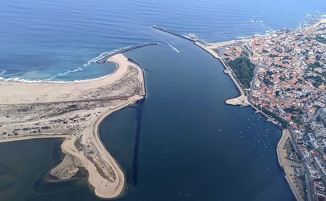
The Douro is the largest river of the Iberian Peninsula by discharge. It rises near Duruelo de la Sierra in the Spanish province of Soria, meanders briefly south, then flows generally west through the northern part of the Meseta Central in Castile and León into northern Portugal. Its largest tributary is the right-bank Esla. The Douro flows into the Atlantic Ocean at Porto, the second largest city of Portugal.
The river flowing through the Portuguese wine region, designated as a World Heritage Site.
A 1908 image of boats along the Douro River
A SPOT Satellite image of the Douro River
Aerial view of the Douro estuary, Porto