Wabash River
Videos
Page
The Wabash River is a 503-mile-long (810 km) river that drains most of the state of Indiana, and a significant part of Illinois, in the United States. It flows from the headwaters in Ohio, near the Indiana border, then southwest across northern Indiana turning south near the Illinois border, where the southern portion forms the Indiana-Illinois border before flowing into the Ohio River.
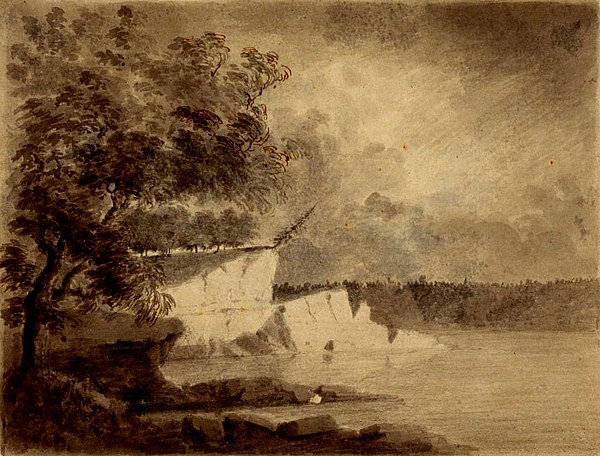
A scene along the Wabash River, sketched in 1778 by Lt Governor Henry Hamilton en route to recapture Vincennes, Indiana during the American Revolutionary War
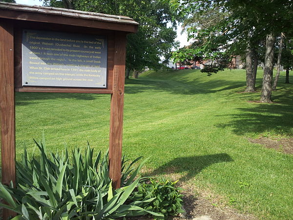
The former course of the Wabash River, running by the former site of the original Fort Recovery. The reproduction can be seen in the background, but it is not the original fort.

Forks of the Wabash at Huntington

U.S. Route 31 Business crossing of the Wabash River in Peru, Indiana in 2022
Indiana
Videos
Page
Indiana is a state in the Midwestern region of the United States. It borders Lake Michigan to the northwest, Michigan to the north and northeast, Ohio to the east, the Ohio River and Kentucky to the south and southeast, and the Wabash River and Illinois to the west. Nicknamed "the Hoosier State", Indiana is the 38th-largest by area and the 17th-most populous of the 50 states. Its capital and largest city is Indianapolis. Indiana was admitted to the United States as the 19th state on December 11, 1816.
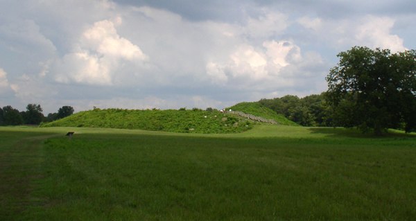
Angel Mounds State Historic Site was one of the northernmost Mississippian culture settlements, occupied from 1100 to 1450.

Native Indians guide French explorers through Indiana, as depicted by Maurice Thompson in Stories of Indiana.

1950 postal issue of Harrison commemorating Indiana's 150th anniversary of statehood
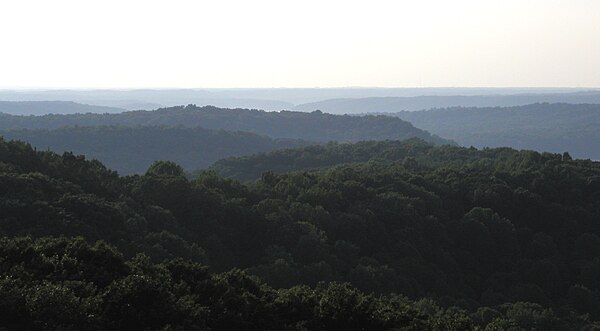
Rolling hills in the Charles C. Deam Wilderness Area of Hoosier National Forest, in the Indiana Uplands