Wallula Gap
Videos
Page
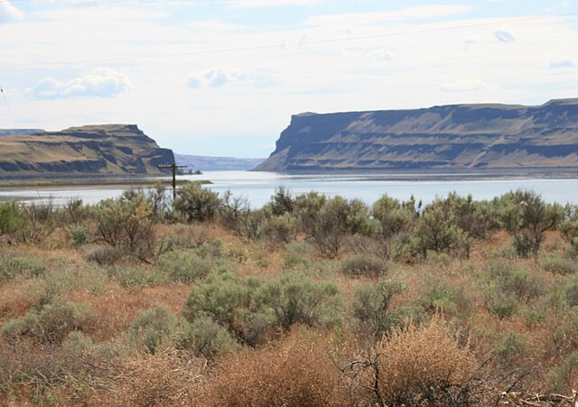
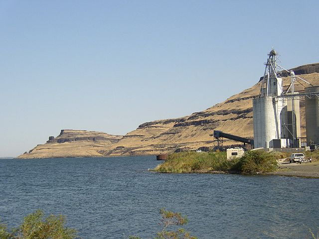
Wallula Gap is a large water gap of the Columbia River in the northwest United States in southeast Washington. It cuts through the Horse Heaven Hills basalt anticlines in the Columbia River Basin, just south of the confluence of the Walla Walla and Columbia rivers.
View from northeast in 2008, from Main Street in Wallula
View to the north from about the midway point within the Walulla Gap
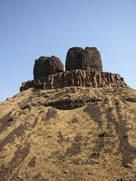
Twin Sisters: a scabland residual of the Missoula Floods on the east bank of the Columbia River in the Wallula Gap
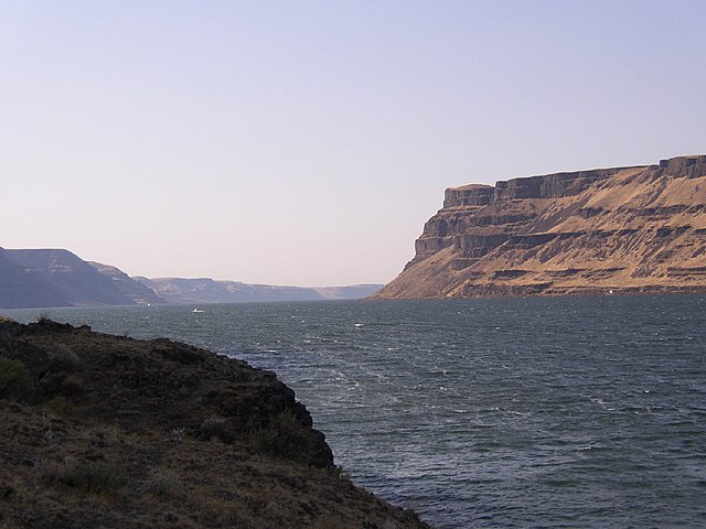
View from the northern end toward the south within the Walulla Gap
Columbia River
Videos
Page
The Columbia River is the largest river in the Pacific Northwest region of North America. The river forms in the Rocky Mountains of British Columbia, Canada. It flows northwest and then south into the U.S. state of Washington, then turns west to form most of the border between Washington and the state of Oregon before emptying into the Pacific Ocean. The river is 1,243 miles long, and its largest tributary is the Snake River. Its drainage basin is roughly the size of France and extends into seven states of the United States and one Canadian province. The fourth-largest river in the United States by volume, the Columbia has the greatest flow of any river entering the Pacific outside of Asia, and the 36th greatest discharge of any river in the world.
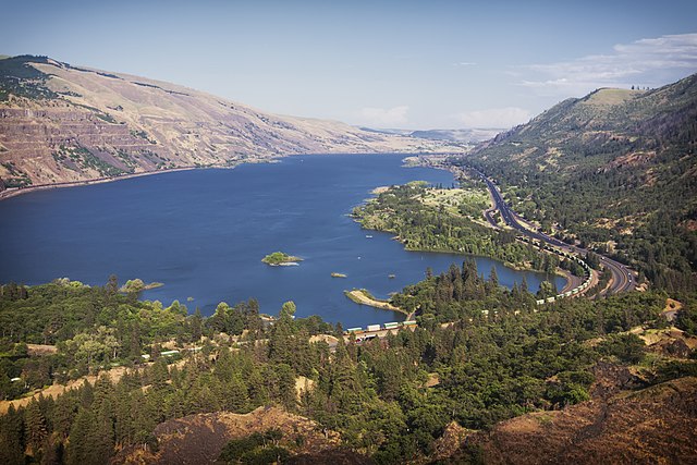
Columbia River from Rowena Crest with Interstate 84 on the right
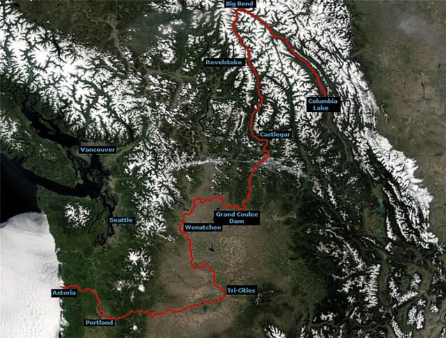
Course of the Columbia River

The Columbia River Gorge facing east toward Beacon Rock

Drumheller Channels, part of the Channeled Scablands formed by the Missoula Floods