Waterfall Gully, South Australia
Videos
Page
Waterfall Gully is an eastern suburb of the South Australian capital city of Adelaide. It is located in the foothills of the Mount Lofty Ranges around 5 km (3.1 mi) east-south-east of the Adelaide city centre. For the most part, the suburb encompasses one long gully with First Creek at its centre and Waterfall Gully Road running adjacent to the creek. At the southern end of the gully is First Falls, the waterfall for which the suburb was named. Part of the City of Burnside, Waterfall Gully is bounded to the north by the suburb of Burnside, from the north-east to south-east by Cleland National Park, to the south by Crafers West, and to the west by Leawood Gardens and Mount Osmond.

Waterfall Gully in 1866
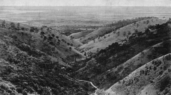
View of Waterfall Gully in South Australia, as seen from Eagle on the Hill in 1910

First Falls in the late 1800s, with the weir visible in the foreground

Waterfall Gully Road after the November 2005 Floods
Adelaide city centre
Videos
Page
Adelaide city centre is the inner city locality of Greater Adelaide, the capital city of South Australia. It is known by locals simply as "the City" or "Town" to distinguish it from Greater Adelaide and from the City of Adelaide local government area. The population was 15,115 in the 2016 census.
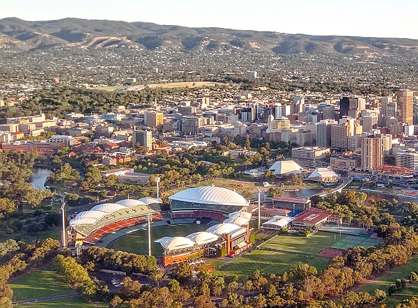
Adelaide City Centre with Adelaide Oval and the Adelaide Festival Centre in view (2015)
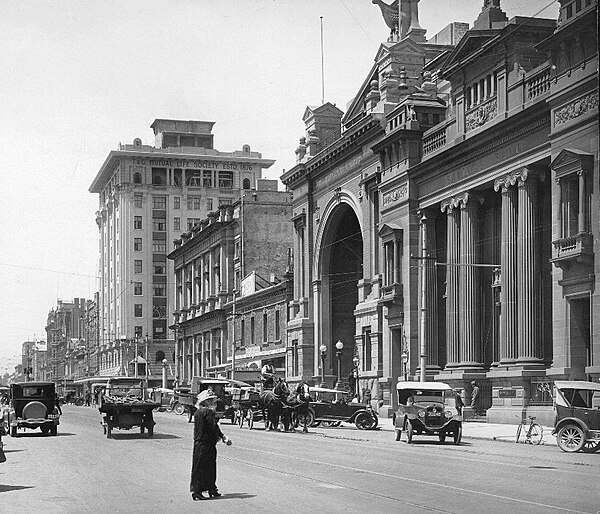
Currie Street looking east, c. 1925

This view shows about 60 per cent of the city centre, and the south-eastern suburbs and Adelaide Hills in 1935

Architectural detail of the former Adelaide General Post Office on King William Street